Up and down temperatures with an active weather pattern to close our November
Temperatures should surge back into 60s briefly on Tuesday before rain and storm chances pick up late
It was a cloudy, cool and dreary start to the week Monday across Central and Eastern Kentucky after the long holiday weekend. Even with a frontal boundary to our east and surface high pressure to the south, low clouds stuck around through the day with afternoon highs struggling into the upper 40s and low 50s. One thing we didn’t have to deal with was the wind. On Sunday we saw wind gusts over 50 miles per hour at times which did a bit of damage. The nearly 3 story Christmas tree in front of the Kentucky Utilities building in Lexington was toppled by the high winds with crews having to clean-up this morning.
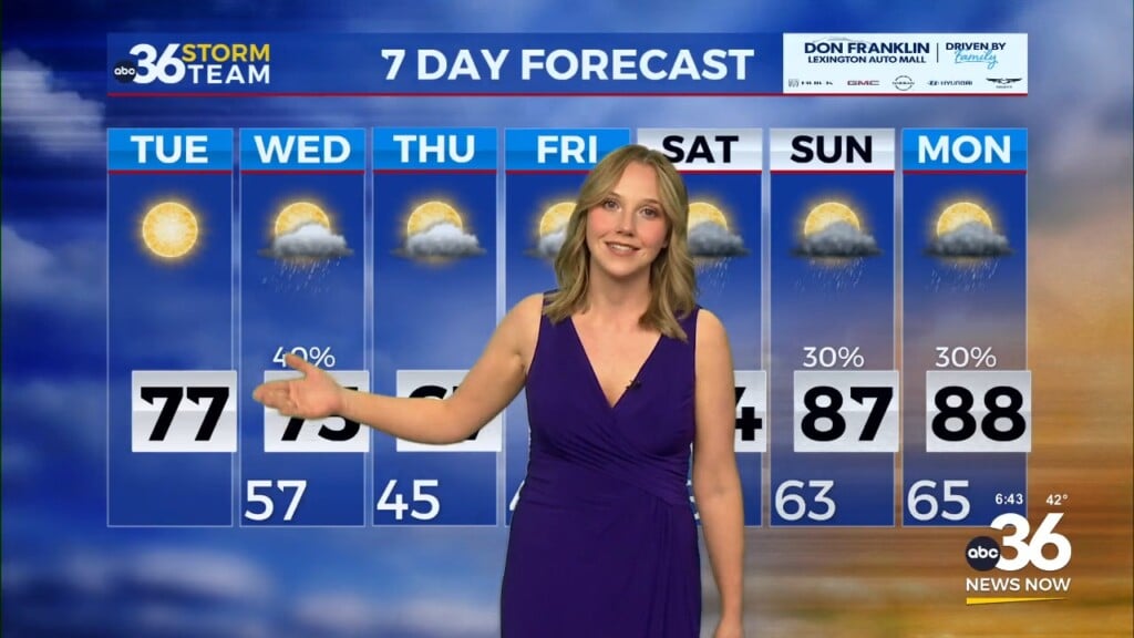
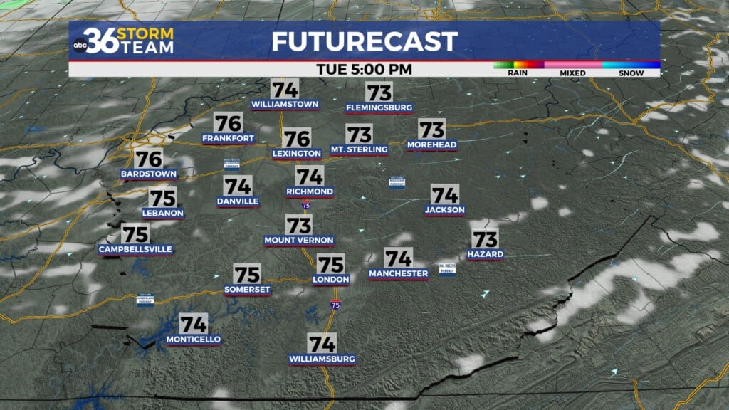
Heading into the final days of November, we’ve got some active weather on the way. A strong storm system will develop across the Southern Plains allowing a strong southwest wind to pick up. This should push afternoon highs into the low 60s on Tuesday.
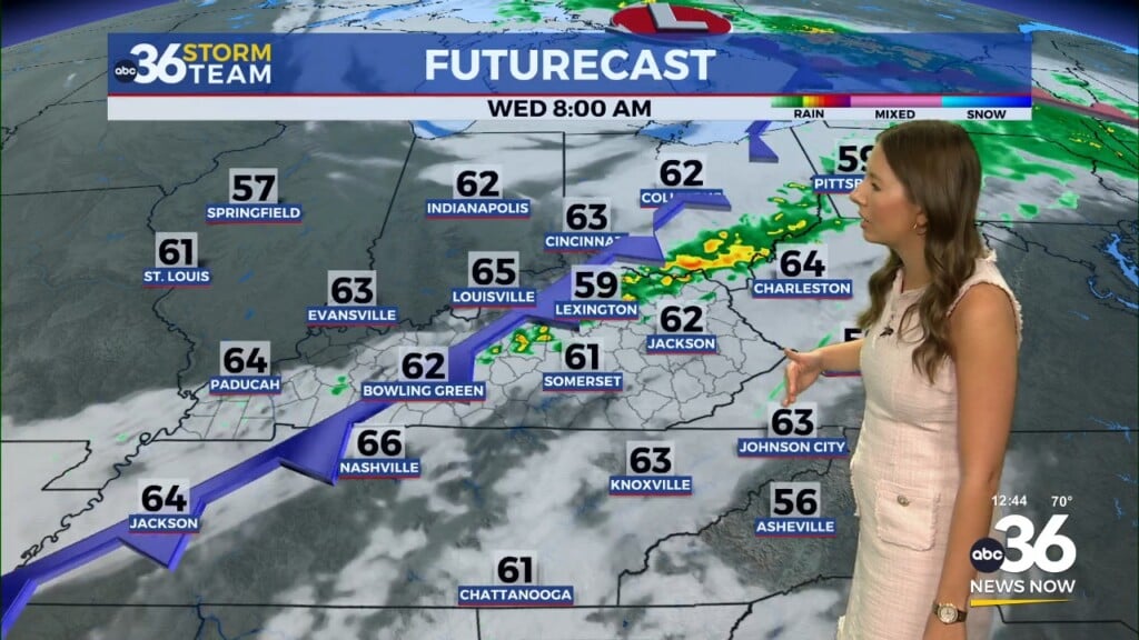
As the storm system draws closer Tuesday night and into early Wednesday, our rain and storm chances will increase during the early hours of Wednesday. At least our severe threat stays low with the best dynamics well to our south but some gusty winds will be possible, even away from any storms as the front blows through and temperatures tumble into the low 40s by Wednesday afternoon.
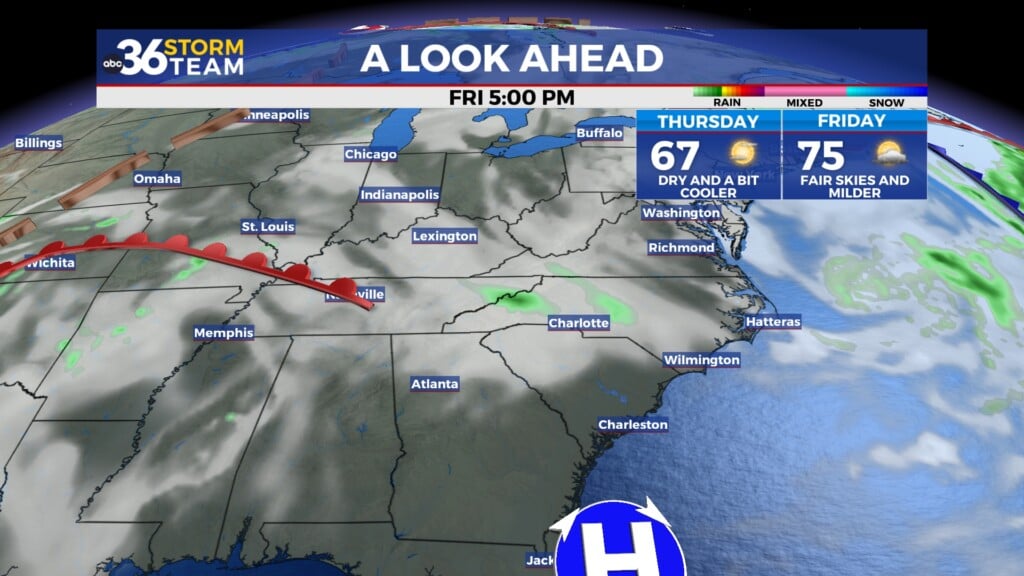
Heading into early December our weather pattern stays active with additional rain chances on Saturday through Monday as the roller coaster ride of up and down temperatures continues.
ABC 36 HOUR FORECAST
MONDAY NIGHT: Clouds linger, a bit chilly. Lows in the upper 30s to low 40s.
TUESDAY: Morning showers, then clearing late. Highs in the mid-50s.
TUESDAY NIGHT: Mostly clear and colder. Lows in the low 30s.


