Active weather pattern ramps up to end March and begin April
We'll squeeze in one more nice day before storm chances ramp up along with another wind event Saturday
It was a pleasant spring day across Central and Eastern Kentucky with afternoon highs climbing into the upper 50s with full sunshine in most locations. This was a nice recovery after the very chilly/frosty start as temperatures started into the upper 20s and lower 30s. This caused a bit of frost on some of the plants that have already bloomed but luckily we are still a week or two away from the official growing season kicks in, which will have a more widespread impact on plants/vegetation during the frosty cold mornings.
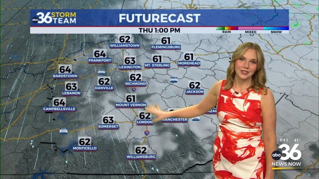
After another chilly start on Thursday, we’ll enjoy another delightful day across the region with another area of high pressure building into the Ohio Valley. With plenty of sunshine and a light southeast breeze, Thursday should easily be our nicest day for awhile with afternoon highs surging back into the low to mid-60s!
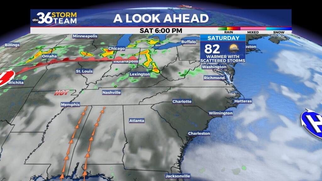
Active weather will pick up Friday as a storm system moves in from the west, one that will be quite similar to what we dealt with last Friday and into Saturday. While the best chances for strong to severe storms will remain to our west, the Storm Prediction Center has Central Kentucky in the Level 2 risk with Eastern Kentucky in the Level 1 risk (out of 5). It appears the window for a potential line of storms rolling through will be late Friday evening and into the early hours of Saturday. While damaging winds look to be the main threat, an isolated tornado spin-up within the line can’t be ruled out per usual.
Get set for another strong gradient wind event as the parent low strengthens heading into the Great Lakes on Saturday. The rain should end by Saturday morning, allowing for some sunshine to return. This will help mix the air more effectively and increase the wind as a result. Wind gusts could be 45 to 50 miles per hour for a few hours into Saturday afternoon so keep that in mind. Just for perspective, we’ve had 10 Wind Advisories and 3 High Wind Warnings since December 1st, and this event will be like most of the past wind events, not the extreme event of March 3rd based on the data at this point.
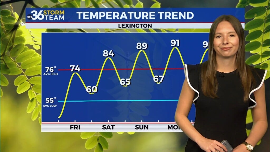
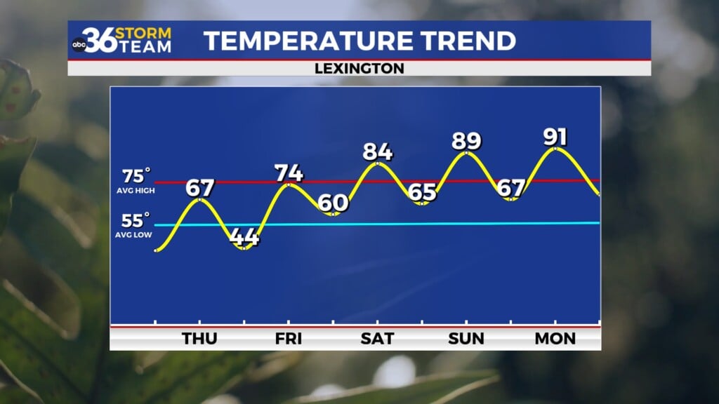
The end of the weekend looks quiet and pleasant before another round of rain and storms moves our way along with much warmer air. Temperatures will climb into low to mid-70s and with plenty of moisture available along with favorable dynamics in place, we could see additional strong to severe storms chances next Tuesday and Wednesday. The Storm Prediction Center already has parts of our area in the extended outlook for severe weather potential. We’ll keep an eye on that as well!
ABC 36 HOUR FORECAST
WEDNESDAY NIGHT: Clear skies, cold again. Lows in the low to mid-30s.
THURSDAY: More sunshine and milder. Highs in the low to mid-60s.
THURSDAY NIGHT: Breezy with rising temperatures, late showers. Lows in the upper 40s early.


