A 50/50 weekend with storms to start but briefly drier on Sunday
Overall the "unsettled" weather pattern will hang around with more rain and storm chances next week
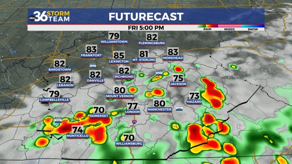
It was a hot but mainly dry finish to the week across Central and Eastern Kentucky with the only exception being a few pop-ups storms in our far eastern counties as the boundary over our area washed out. Afternoon highs reached the upper 80s to low 90s and with some humidity hanging around, especially across Southern Kentucky so the “feel-like” temperatures were pressing the mid to upper 90s in a few spots down south. Those few spotty showers in Eastern Kentucky were enjoyable for a few hummingbirds on Friday with a nice picture from Mary Reed Runyon.

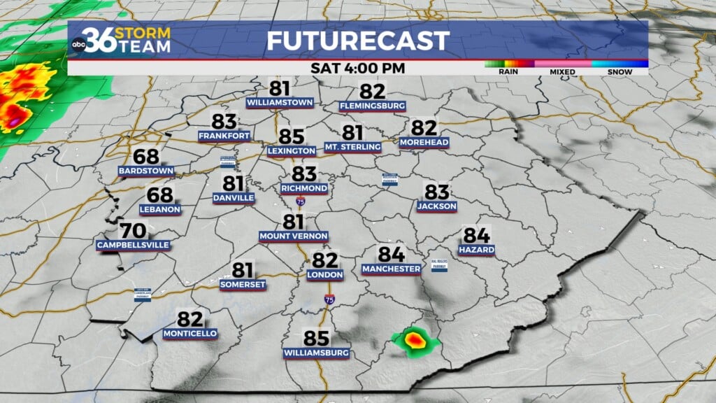
Another wave of energy and boundary will slide into the Ohio Valley on Saturday, once again increasing our chances for scattered showers and storms to kick off the weekend. We could see some heavy downpours with any storms that develop, which will make for a wide range of potential rainfall totals as the system moves through. There is a low end level 1 severe weather risk (out of 5) for Saturday for any storms that may pulse up and become strong to severe. The main threats will be damaging wind gusts, heavy rain and possibility some hail. It doesn’t look like a major event but with it falling on a weekend, just keep an eye on the weather Saturday. With the clouds and storms around, afternoon highs will be held into the low to mid-80s.


There is great news for Sunday as the cold front will essentially sweep all the humidity out of the area, providing us with a nice finish to the weekend. Temperatures will be warm in the mid to upper 80s, but it will feel much better given the lack of humidity so if you have any outdoor plans, Sunday is your day as the break from the unsettled weather pattern won’t last long. Our “muggy meter” clearly illustrates the dip in the humidity levels Sunday before jumping back up next week.


Expect more of the same with the larger weather pattern as we stay in the “active zone” for occasional showers and storms through much of next week. With the upper low over Canada continuing to kick energy our way as the ridge of heat holds serve out west daily storm chances will be on the table although no day should be a wash-out. Afternoon highs will be about where they should be for mid to late July with highs in the mid to upper 80s.

ABC 36 HOUR FORECAST
FRIDAY NIGHT: Warm and muggy, an isolated storm late. Lows around 70.
SATURDAY: Breezy and humid with scattered storms. Highs in the mid-80s.
SATURDAY NIGHT: Evening storms then drying out. Lows in the mid to upper-60s.