A few scattered storms possible to end the week
Less humid air should briefly move in by Saturday
It felt more like the heart of the summer season Thursday across Central and Eastern Kentucky as unseasonably warm and humid air stayed put over the Ohio Valley. With plenty of sunshine around, afternoon highs surged back into the upper 80s to around 90 degrees but with the elevated humidity levels in place, our feel-like temperatures reached the upper 90s to around 100 degrees during the hottest part of the day. Fortunately there was a bit of a southwest breeze to take the edge off the oppressive conditions but it was definitely on the warm side if you were outside for any length of time.

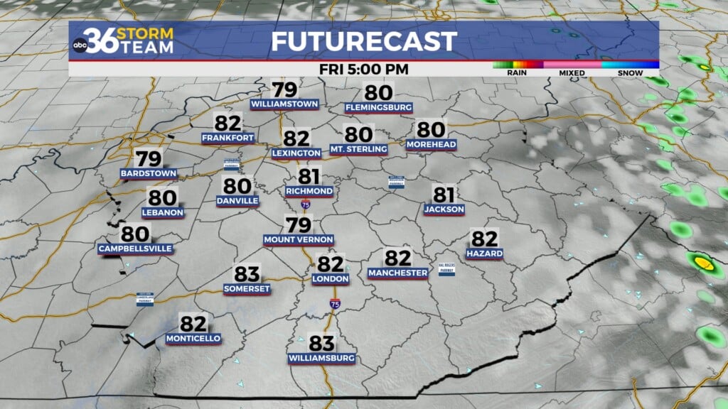
A cold front will drop through the region into Friday bringing back the shower and storm chances for a few spots. The timing should work to our advantage as a weakening line of storms to our northwest washes out into the early hours of Friday. With the front expected to push through Eastern Kentucky through the afternoon hours, storms should re-fire during that window so areas east of I-75 have the best chance of picking up some rain to end the week. There is the potential of a few strong storms Friday afternoon and evening as the Storm Prediction Center has parts of far Eastern Kentucky in a Level 2 severe risk (out of 5) with a Level 1 risk for the remainder of Eastern and Southern Kentucky. Damaging winds will be the main threat with any strong storm that develops. Afternoon highs will reach the mid-80s here in the Bluegrass with a few upper-80s in the east.


We’ll catch a brief break from the humid conditions as we kick off the weekend thanks to drier air pushing in behind the departing cold front on Saturday. It should be a delightful day for outdoor activities with sunshine and more comfortable humidity levels as afternoon highs reach the mid-80s, which is very close to average for mid-June. It looks like a 50/50 weekend as a fast moving wave of low pressure sliding eastward brings showers and thunderstorms back into the Ohio Valley on Sunday. The rain chances look legitimate to end the weekend so you’ll want to get any outdoor plans in on Saturday if possible. Afternoon highs should back off a few degrees into the low-80s on Sunday.


Heading into the early next week, much of the model data is now trending a bit drier as the wave of low pressure moves eastward and the associated frontal boundary pushes a little farther south. This will open the door for another quick shot of high pressure to drift in, which should bring slightly milder air along with more manageable humidity levels. Other than a low end shower chance on Monday in a few spots, we should see a mainly dry stretch for the first few days of next week. Afternoon highs will be a little below average for mid-June but should remain pleasant as temperatures reach the mid to upper-70s in most locations. A weak front may get close enough for a few shower chances to return mid to late week but at this point those chances look on the lower end.


ABC 36 Storm Team 3 Day Forecast
Thursday night: Warm and muggy, a late storm. Lows in the low to mid-70s. Wind: SW 10-15 mph.
Friday: Partly sunny and breezy, a few storms east. Highs in the mid-80s. Wind: W 10-15 mph.
Friday night: Mostly clear and pleasant. Lows in the low-60s. Wind: NW 5-10 mph.