Dry and less humid to kick off the weekend
Enjoy Saturday as the storm chances should return quickly into Sunday
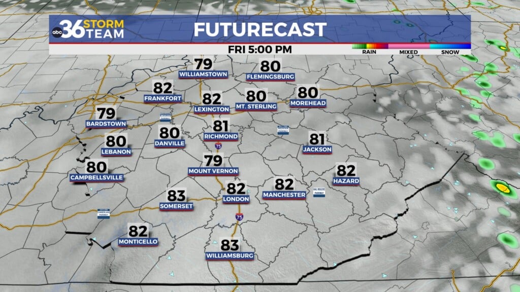
With a cold front dropping into the Ohio Valley we saw a few scattered showers and storms for the morning commute Friday across Central and Eastern Kentucky as the overnight activity held together long enough to impact the region. Once the rain ended by lunch time, much of the area enjoyed a mix of clouds and sunshine before additional storms cranked up mainly south and east of Lexington as the cold front nosed in from the northwest. It was still on the warm and muggy side with afternoon highs in the mid-80s but some positive changes are on tap for Saturday.

Drier and less humid air will filter in behind the departing cold front as we kick off the weekend so it should be noticeably less humid across Central and Eastern Kentucky on Saturday. After starting the day in the low-60s, temperatures will recover into the mid-80s for afternoon highs but it should feel much more comfortable than what we’ve dealt with the last few days thanks to the lack of humidity around. Conditions should be nearly ideal for any outdoor plans you may have but make sure and load up on the sunscreen given the abundant sunshine that’s expected. Do keep in mind that some of the high resolution models are trying to bring a complex of storms into the western part of the state and close to the I-65 corridor, so it’s possible we could see a late shower back that way but overall we should be in good shape this far east.


It looks like a 50/50 weekend weather wise across the Ohio Valley as Mother Nature flips the script pretty quickly heading into Sunday. With a wave of low pressure and a frontal boundary set to roll through Central and Eastern Kentucky, look for more scattered showers and storms as we close out the weekend. You’ll definitely want to get your outdoor activities in on Saturday as the rain chances could easily impact things on Sunday. Afternoon highs should back off into the upper 70s to around 80 degrees with more clouds and showers around. As the front slides out of the area on Monday, look for another shot of dry and milder air to return to the commonwealth on Monday with sunshine and temperatures a little below average for mid-June with highs in the mid-70s.


The quiet weather will hang around for a few days rolling toward the middle of next week as temperatures climb a few degrees back into the upper 70s and low 80s for Tuesday and into Wednesday with more sunshine around. As a southwest flow picks up and moisture returns from the southwest, we could see an isolated shower or two possible mid-week but most spots will remain dry. Another frontal system should move into the region with additional rain and storm chances later next week.


ABC 36 Storm Team 3 Day Forecast
Friday night: Mostly clear and cooler. Lows in the upper 50s and low-60s. Wind: N 5-10 mph.
Saturday: Mostly sunny and warm, a late storm west. Highs in the mid-80s. Wind: SE 5 mph.
Saturday night: Showers and storms return. Lows in the mid-60s. Wind: S 5-10 mph.