It will feel more like late August through the final weekend of the month
Afternoon highs reached the upper 80s Thursday but humidity levels stayed low, however that should change heading into Friday
We’ve had a dry week so far across Central and Eastern Kentucky and Thursday was no exception with sunshine and warm temperatures. Afternoon highs were a touch warmer into the upper 80s in most spots, but luckily humidity levels stayed manageable for this time of the year. It looks like our luck may run out though as we close out the week on Friday.
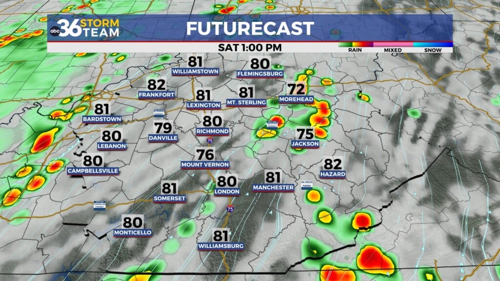
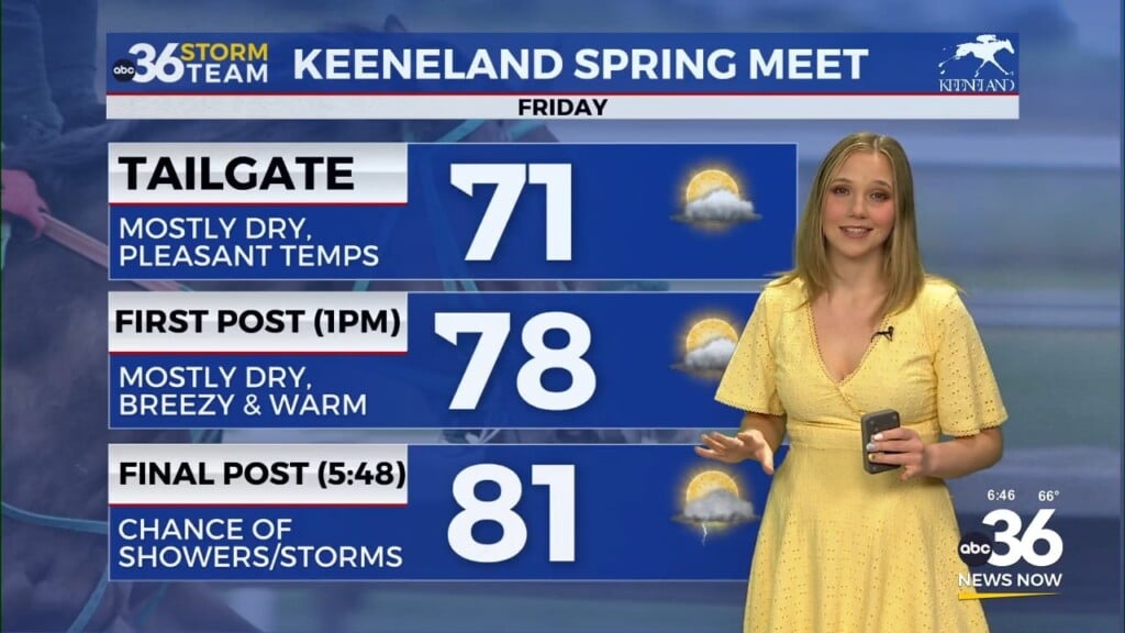
With moisture streaming into the area with a southerly flow kicked back in plus a weakening front boundary dropping in from the northwest, we could see a few scattered showers and thunderstorms late Friday afternoon and evening as afternoon highs remain in the upper 80s. Of course it is Week 2 of high school football so we’ll have to keep an eye on things as any lightning with thunderstorms that potentially develop could cause some delays Friday evening.
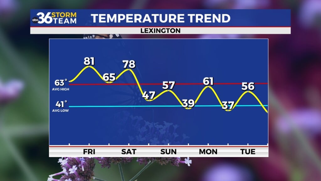
The boundary will wash out so to speak into the weekend, leaving a warm/hot and humid final Saturday and Sunday of August. While a stray storm with the heating of the day can’t be ruled out, most locations will remain high and dry as afternoon highs stay very summer-like in the upper 80s with even a few low 90s possible to close out the weekend. With the “Muggy Meter” up a bit, heat indices could come into play Sunday so hydrate properly if you’ll be enjoying outdoor activities.
A more organized chance of showers and thunderstorms will arrive early next week for the final few days of August. It appears out best chance will be on Tuesday as the main cold front moves through the region. A good bit of the data is indicating drier and slightly cooler air will follow suit late next week as we kick off September. Stay tuned!
ABC 36 HOUR FORECAST
THURSDAY NIGHT: Mostly clear and mild. Lows in the mid to upper 60s.
FRIDAY: Warm and humid, a few storms. Highs in the upper 80s to around 90 degrees.
FRIDAY NIGHT: Fair skies and quiet. Lows in the mid-60s.


