A calm next several days before the pattern turns active again
Meteorologist Jordan Smith has a look at your Saturday evening forecast!
Lexington, Kentucky: Good Saturday evening everyone, we are coming off of a very calm day across central and eastern Kentucky. Good news is that we have several more calm days before we turn back up the active pattern. Here is what I am tracking!
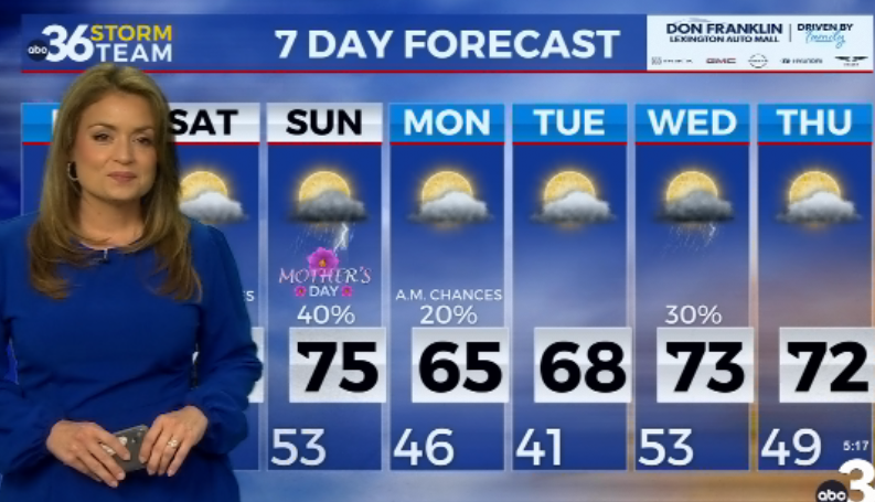
Our Sunday looks absolutely fantastic, here is a breakdown of the day to help you plan it out.
Monday and Tuesday we do even better with highs on Monday into the mid 50s under mostly sunny skies and Tuesday we hit the low 60s under a mix of sun and clouds. That brings us our first weather maker overnight Tuesday into Wednesday in the form of rain. Scattered rain and gusty winds will last through the day on Wednesday. Some thunder is also possible.
Rain will continue into Thursday before starting to clear out late in the day.
Temperatures on Friday will spike to 50 in the afternoon and then come crashing down early evening. That is when we watch our next storm system for Friday night – Saturday. This thing looks rather interesting with rain and mainly snow. Keep in mind that we are still several days out from this so any thing can change. I just want to give you a heads up that we could be talking about wintry weather within the next 6-7 days. #kywx
SATURDAY NIGHT: Mostly cloudy and chilly. Lows in the mid to upper 30s.
SUNDAY: Partly sunny skies and milder. Highs in the low-50s.
SUNDAY NIGHT: A few clouds. Lows in the low-30s.


