Stormy weather pattern lightens up the next few days
Late July heat should pick up a bit into the mid-week
After a soggy and stormy weekend that brought scattered flash flooding to parts of central and eastern Kentucky, Monday kicked off with a quieter but still muggy pattern. A stalled boundary across the region helped fire up a few isolated to scattered afternoon storms, some producing heavy rain and localized flooding. Highs topped out in the mid-80s, but humidity made it feel warmer.
Turning Hotter and Drier Midweek
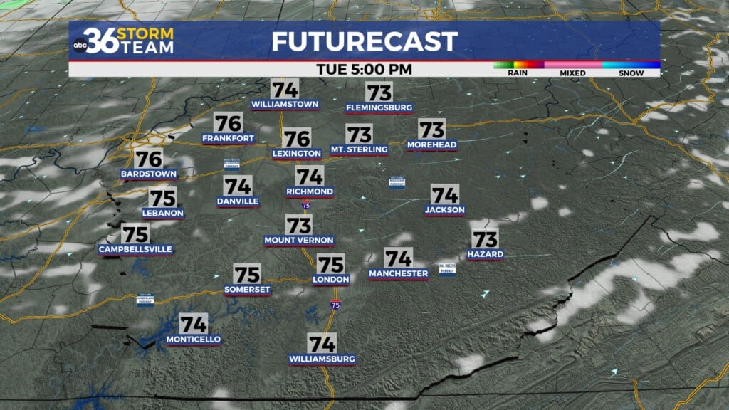
That lingering boundary will finally slide south by Tuesday, allowing for some drier air to filter into the Ohio Valley. Rain chances will be much lower, and sunshine will help boost temperatures into the upper 80s—right around average for late July. However, it will feel hotter, with heat index values pushing toward the upper 90s to near 100 degrees.
By Wednesday and Thursday, an upper-level ridge builds in, keeping rain chances very limited. Afternoon highs will climb into the low 90s, and with dewpoints staying high, heat index values will hover near 100 degrees. If you’re spending time outdoors, take it easy during peak heating hours and stay hydrated.
Storm Chances Return Late Week
By Friday and into the weekend, another slow-moving boundary may settle into the Ohio Valley, bringing back scattered showers and storms. Locally heavy downpours will be possible, but temperatures will stay hot, with highs in the low 90s.
Monday Night: Drying out, less humid. Lows in the upper-60s. Wind: NE 5 mph.
Tuesday: Mostly sunny and warm. Highs in the upper-80s. Wind: E 5 mph.
Tuesday Night: Mostly clear and pleasant. Lows in the mid-60s. Wind: E 5 mph.


