Mid-week storm chances before another summer heat wave builds in
A few of the storms could be strong Wednesday night and into early Thursday as a frontal boundary moves through
The much needed rain we received across Central and Eastern Kentucky late Sunday and into Monday set us up for some patchy dense fog early Tuesday morning with visibilities reduced a good bit in some spots. Once the fog burnt off, the sunshine got to work and afternoon highs returned to the mid to upper 80s across the board. The upward trend in temperatures will continue the rest of the week.

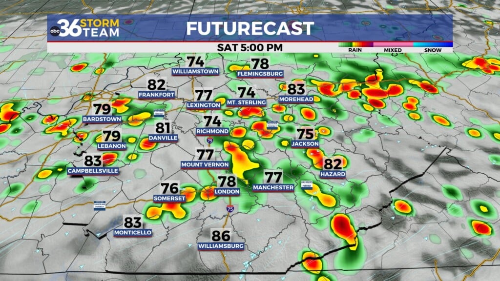
Expect a breezy Wednesday as hot and humid air blows back into the area ahead of a frontal boundary dropping in from the northwest. Right now it looks like the daylight hours will stay dry as afternoon highs reach the low 90s and it will feel even hotter than that. The best window for storms should be Wednesday night and into early Thursday. While the Storm Prediction Center has us in a Level 2 (out of 5) severe weather risk from the Bluegrass region northward, the timing of the front and the upper level dynamics make this threat conditional, but any way you slice it up, heavy rain and strong winds will be possible with any storms that move through.


Once the boundary clears, humidity levels may drop off a bit Thursday but it will still be hot with highs around 90 degrees and plenty of sunshine. This will be our “nicest” day over the next week as another summer heat wave builds in this weekend. Beginning on Friday, afternoon highs will reach the mid-90s and “feel-like” temperatures will be over the 100 degree mark so you’ll want to take the proper precautions for any outdoor activities, especially with the hottest days being over the weekend. We may catch some relief early next week with a few storms as another boundary drops into the region. Stay cool out there!


ABC 36 HOUR FORECAST
TUESDAY NIGHT: Mostly clear, warm and muggy. Lows in the low 70s.
WEDNESDAY: Hot and humid, a late storm Highs in the low 90s.
WEDNESDAY NIGHT: Warm with a few scattered storms. Lows in the low 70s.