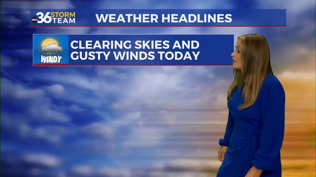
Windy and warm to kick off the weekend while we dodge a few showers
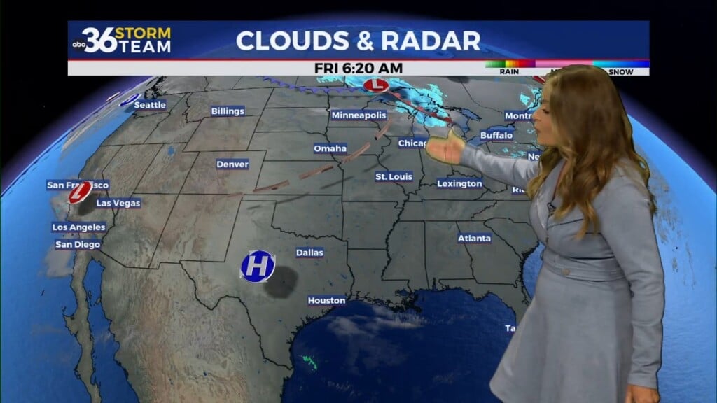
A cold front will slide into the commonwealth late Saturday bringing a lot of wind and some scattered rain potential
It sure didn’t feel like the first Friday in November across Central and Eastern Kentucky as plenty of sunshine and a strong south wind pushed afternoon highs into the mid and upper 70s. This is roughly 15 to nearly 20 degrees above average for this time of the year and the unseasonably warm air will stick around this weekend, but with some changes on tap.

Heading into Saturday, the first issue will be very strong winds as we could see gusts anywhere from 40 to 45 miles per hour at times so that’s something to keep in mind. All this wind is driven by a cold front approaching from the west. The strongest winds should be from the late morning through the afternoon, so a Wind Advisory is out for much of the area from 8am to 8pm Saturday.


All week we’ve talked about the potential of gusty showers impacting Day 2 of the Breeders’ Cup World Championships out at Keeneland here in Lexington. In general, the potential timing of everything looks a bit better. First off it won’t be an all day rain and more importantly, much of the high resolution data wants to weaken out a line of showers west of Louisville late Saturday morning with just a few scattered showers redeveloping toward the I-75 corridor during the afternoon.
As the front presses in, a secondary line of gusty showers should develop but that may not moved through until AFTER the 5:40pm post for the marquee race of the event, the Breeders’ Cup Classic. Hopefully this scenario plays out but take the rain gear along no matter what you are doing and expect warm temperatures with highs in the mid-70s along with the gusty winds.


Our weather will remain on the unseasonably warm for November even after the showers wind down on Sunday. Temperatures should stick into the low and mid-70s through Monday before a weak boundary brings a re-enforcing shot of cooler air in just in time for Election Day.

ABC 36 HOUR FORECAST
FRIDAY NIGHT: A few clouds and breezy. Lows in the upper 50s and low 60s.
SATURDAY: Windy and warm, gusty showers late! Highs in the mid to upper 70s.
SATURDAY NIGHT: Breezy with a few showers. Lows in the upper 50s.