Unseasonably mild and occasionally damp through the week
Temperatures should top out in the upper 50s and low 60s with a few showers from time to time
After a cold start early on Monday with a weak boundary ushering in some brief chilly air, temperatures recovered nicely into Monday afternoon making for a pretty and comfy start to the week across Central and Eastern Kentucky. With some afternoon sunshine most locations ended up into the mid-50s for highs, which was quite remarkable after the colder temperatures in the early hours Monday.

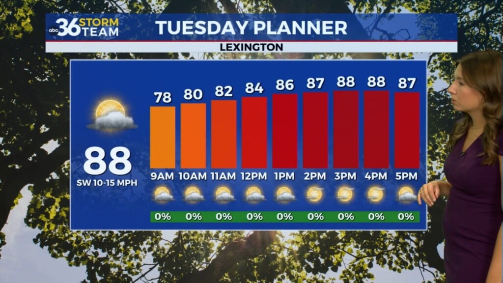
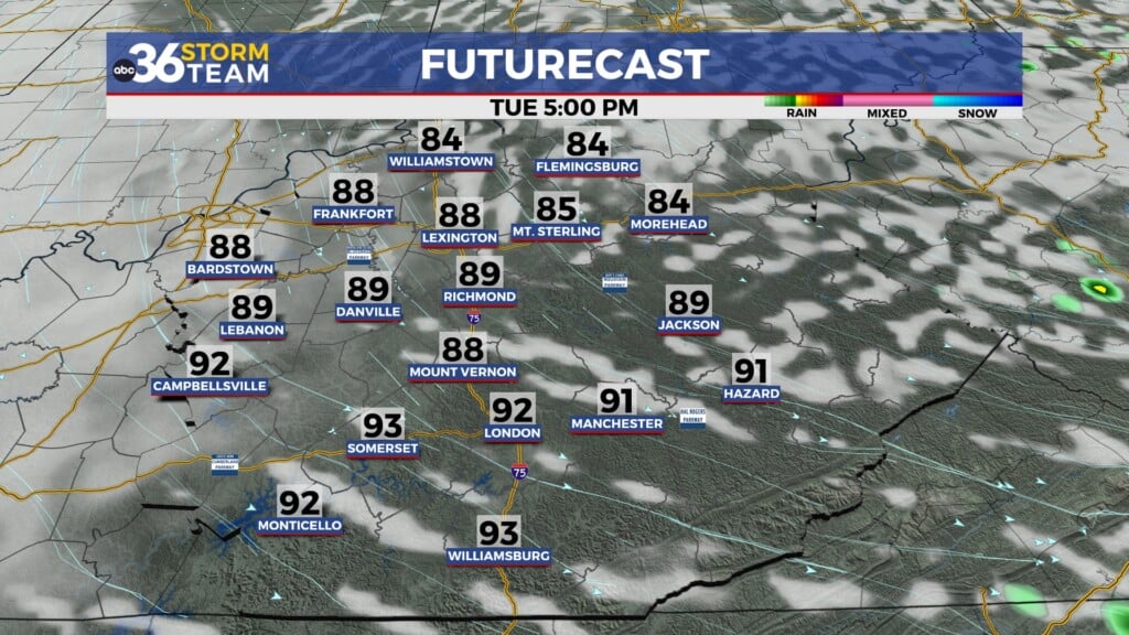
We are set-up for an unseasonably mild stretch of weather the next few days as a series of storm systems moves through the Ohio Valley. Winds will pick up out of the south on Tuesday with gusts up to 35 miles per hour helping to drive our afternoon highs into the low 60s! A weakening cold front will approach the Ohio River and put on the breaks so a few showers will be possible late in the day, especially areas north and west of Lexington. In fact, parts of Southern Kentucky may see no rain at all out of this first system.

A stronger wave of low pressure will develop to our southwest mid-week and rode northeastward along the front and spin over the commonwealth into Wednesday night. This will gives us our best shot of widespread rain this week with the heaviest rain possible late Wednesday and into Thursday. While the highest rainfall totals should be in Western Kentucky, it’s possible that some locations in the Bluegrass could pick up around 1″ or so. With the low overhead, winds could get pretty strong Wednesday night so gusts 40 to 45 miles per hour may be possible.


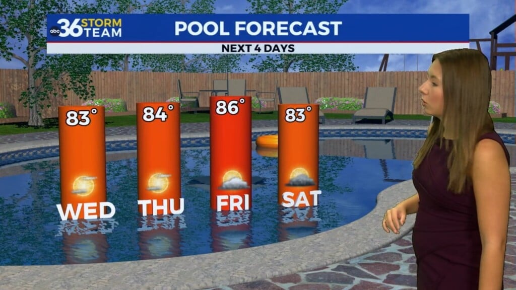
Temperatures will stay on the mild side as we don’t see a big push of cold air behind the departing system, plus another small wave of energy will roll our way Friday and Saturday. A southwest wind ahead of the wave will keep highs in the upper 50s with a few rain showers Friday before some colder air finally wraps in on the back side into Friday night. With enough moisture hanging around, some light snow showers will be possible into Saturday so we’ll have to watch for the potential of some light accumulations if the timing is right into the weekend. More to come!


ABC 36 HOUR FORECAST
MONDAY NIGHT: Scattered clouds and cool. Low in the low-40s.
TUESDAY: Windy and mild, a late shower. Highs in the low-60s.
TUESDAY NIGHT: Breezy with a few showers. Lows in the mid-40s.