The quick break from our active weather pattern continues Thursday
While most locations should be dry and warm, a stray shower can't be ruled out down south Thursday as moisture slowly returns
After a stormy Election Day with lots of severe weather across Central and Eastern Kentucky it was a tranquil and pleasant Wednesday across the board. With some filtered sunshine (due to some upper level smoke from the wildfires all the way in Western Canada drifting eastward) and lower humidity levels, afternoon highs reached the low to mid-70s so it felt really nice out for mid-May. It was quite foggy in spots early with visibility down to less than 1/4 of a mile in several spots before the sun burnt off the fog and warmed things up.
Our weather looks pretty good heading into Thursday with high pressure off to our northeast. This should kick in an east wind and with additional sunshine, afternoon highs should reach the upper 70s in most locations. The only fly in the ointment is down south where an upper level wave along with more of a southeast flow may provide enough to get a few isolated showers to go up late afternoon but most locations should by dry from start to finish.
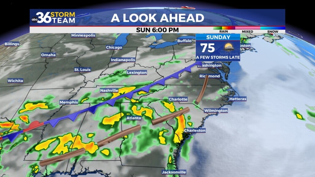
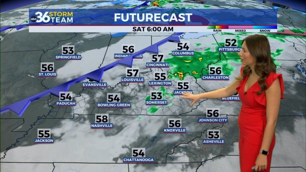
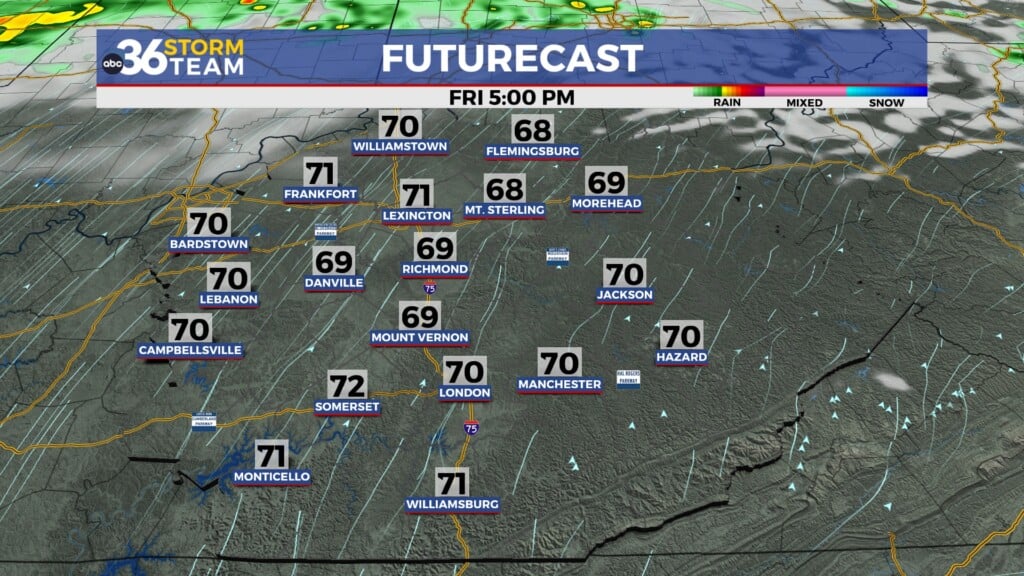
Wrapping up the week and heading into the weekend, a frontal boundary will drop into the Ohio Valley, increasing our chances for another round of rain and a few storms. The biggest issue is the potential timing of the front moving through as the model data hasn’t been synced up with when the best window for rain may be. Of course this is important as we are heading into the weekend, when plenty of outdoor activities are going on as we get deeper into May. At this point it appears an few isolated showers are possible Friday with the bulk of the rainfall being Friday night and into Saturday morning. The rain should end from northwest to southeast through the day with far Southeastern Kentucky seeing a few showers lingering into the afternoon.
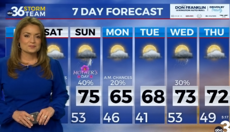
A ridge of warmth should build eastward along with high pressure so the second half of the weekend and into early next week is trending very nice. Afternoon highs should the mid to upper 70s on Sunday and Monday before climbing into the low 80s on Tuesday and Wednesday. While enough moisture may return from the south to fuel an isolated storm with the heating of the day, most spots should stay dry through the mid-week.
ABC 36 HOUR FORECAST
WEDNESDAY NIGHT: Mostly clear and pleasantly cool. Lows in the upper-40s and low-50s.
THURSDAY: Mostly sunny, a stray storm south late. Highs in the upper 70s.
THURSDAY NIGHT: A few clouds and milder. Lows in the upper-50s.


