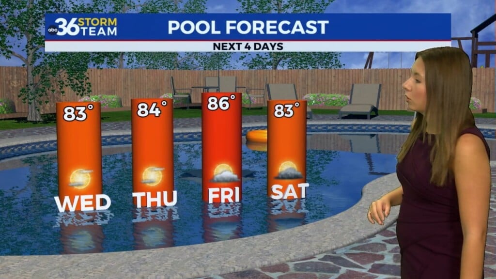
Temperatures cool down but still nice into the late week
A dry cold front will usher in a shot of milder air into Thursday dropping afternoon highs back into the 70s
It was another warm day across Central and Eastern Kentucky with more sunshine and afternoon into the upper 70s and low 80s. Humidity levels weren’t overly high so it was comfortable at the surface but we did have a bit of haze and filtered sunshine thanks to some additional upper level smoke particles from the on-going wildfires burning across Western Canada. This made for some delightful sunrise pictures to kick off the day Wednesday.


A dry cold front will slide through the commonwealth into early Thursday bringing a few changes to Central and Eastern Kentucky. While no rain is expected from this system, it will usher in a shot of “cooler” air relatively speaking for the end of the week and heading into the first part of the upcoming holiday weekend. Cool high pressure to our north will mean temperatures about 8 to 10 degrees lower for afternoon highs to end the week so expect readings to only reach the low to mid-70s. A breezy northeast wind will add to the cooler feel but it should be pleasant.

Heading toward the holiday weekend, it looks like we’ll do the ole “squeeze play” with an upper level low to our southeast and high pressure drifting into Southern Canada, keeping the brisk northeast wind in place and holding afternoon highs into the low and mid-70s through Saturday. Of course the all important question is what impact this upper low could have on the holiday weekend forecast. At this point we are still looking at a few isolated afternoon storms into Sunday and Memorial Day as temperature begin to recover a bit toward the 80 degree mark.


Beyond the holiday, much of the data is showing a significant ridge of warmth/heat building into the Eastern U.S. as we close out the month of May. Afternoon highs could legitimately make a run into the upper 80s so it appears that it will feel like summer rolling into the early part of June! Stay tuned!

ABC 36 HOUR FORECAST
WEDNESDAY NIGHT: Mostly clear and pleasantly cool. Lows in the low-50s.
THURSDAY: Mostly sunny, breezy and cooler. Highs in the low-70s.
THURSDAY NIGHT: Fair skies and cool. Lows in the upper-40s.