Summer warmth for the mid-week as storms chances return
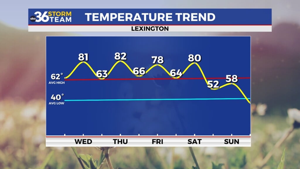
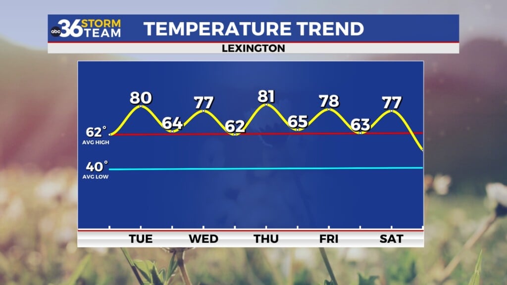
Highs should run into the low 80s Wednesday with breezy conditions before a few strong storms roll in by evening
It’s definitely felt like spring to kick off this first week of April so far across Central and Eastern Kentucky with unseasonably mild/warm temperatures and Tuesday was no exception. While stubborn cloud cover hung around the region as expected into the early afternoon hours, the sun finally came out and working with a breezy south wind, afternoon highs surged into the upper 70s and low 80s all through the region. For the first time in months, you could actually feel a little bit of humidity in the air as the moisture was pulled northward. We’ve got one more warm day on tap Wednesday before we see some active weather and quick changes to our weather pattern for a few days.
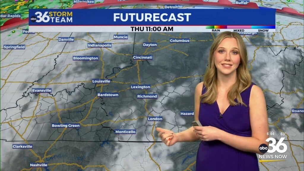
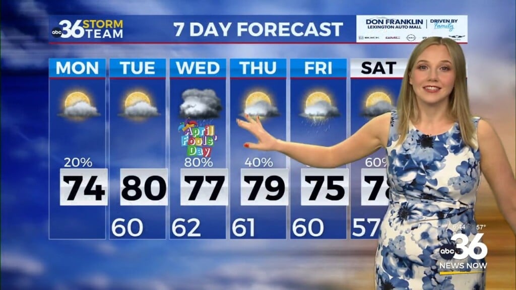
As another wave of low pressure rolls through the Upper Ohio Valley and Great Lakes on Wednesday producing severe weather in those areas, a trailing cold front will slowly work its way into the commonwealth by the end of Wednesday. Expect another summer-like day with warmth and humidity Wednesday as afternoon highs surge into the low 80s across the board. It should remain dry for the better part of the day allowing things to warm up nicely. The data varies with timing of the storms, but our in-house data has a way of storms north of Lexington by the early evening with another wave southeast of Lexington into the early hours of Thursday. Of course the timing of the arrival could have an affect on the strength of the storms.
The Storm Prediction Center has another potpourri of severe weather risk levels across Central and Eastern Kentucky on Wednesday. The Level 3 risk is across Northern Kentucky through the Bluegrass Region and points to the west, with Level 2 southeast of Lexington before ramping down to Level 1 in the far southeastern mountains. The more favorable dynamics for a legitimate severe weather outbreak will be to our northwest from Illinois up through Indiana and into Michigan. This is where the tornado threat will be highest, while our area is looking at primarily a damaging wind threat with just the typical isolated tornado spin-up possible within any cluster/line of storms that moves through.
For the 12th time in a little over 4 months, A Wind Advisory is out Wednesday for parts of the area from 8am to 8pm on Wednesday. Gradient winds away from any gusty showers or thunderstorms could produce wind gusts around 45 miles per hour so keep that in mind through the day on Wednesday.
Much cooler air will filter in behind the slow moving front with a few showers lingering on Thursday, especially for our Southern Kentucky counties. Expect a much cooler Thursday with highs only into the mid-50s, so it will be a good 25 to 30 degrees cooler into the late week. Friday looks dry and pleasant despite a few scattered clouds in the area.
The good news is that Easter weekend is still looking good as we should see more dry weather and an upward tick in our temperatures. While sunrise services on Easter Sunday could be a touch cooler with temperatures into the low 40s, we should enjoy a delightful afternoon as afternoon highs surge back into the upper 60s to near 70 degrees!
ABC 36 HOUR FORECAST
TUESDAY NIGHT: Breezy and mild, a few clouds. Lows in the upper-60s.
WEDNESDAY: Windy and warm, late storms possible. Highs in the low-80s.
WEDNESDAY NIGHT: Rain and storms, some strong. Lows in the upper-40s.


