Summer heat wave breaks to kick off August
Afternoon highs will be cooler into the low 80s with less humidity
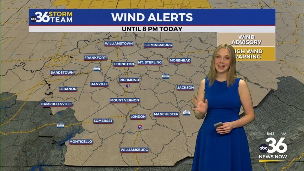
After days of sweltering heat and humidity, a shift in the pattern is finally here! Thursday marked the beginning of the change as a cold front swept across Central and Eastern Kentucky, bringing a few scattered storms and helping to knock temperatures down just a bit. While some spots saw heavy rain and a good light show, others stayed mainly dry. Either way, the more important takeaway is that the oppressive heat dome we’ve been under is breaking down.

A Noticeable Drop in Humidity Kicks Off the Weekend
As we flip the calendar into August on Friday, you’ll really start to feel a difference. Temperatures will settle into the low 80s for highs, and while the humidity will still be lingering early in the day, drier air will slowly filter in from the northeast. Expect a mix of clouds and sun Friday morning, and maybe even a stray shower—especially across southern Kentucky—but the overall trend will be toward clearing skies and more comfortable air. By Friday evening, it should feel great for any outdoor dinner plans, high school football scrimmages, or evening walks around the neighborhood.

Saturday Looks Just About Perfect
If you’ve been holding off on outdoor plans because of the heat, Saturday is your green light. We’ll start the morning off in the upper 50s and low 60s, a refreshing change after all those warm and muggy starts recently. Sunshine will dominate the day, humidity stays low, and afternoon highs will be just into the low 80s—fantastic weather for August in Kentucky. Fire up the grill, hit a trail, or just enjoy the porch swing.


More Great Weather Sunday—With a Few Storms Around
Sunday will still feel comfortable with highs in the low 80s, but a weak disturbance may stir up a few isolated storms, especially in the afternoon. Not a washout by any means, and plenty of dry time is expected, but just keep the umbrella nearby if you’ll be outside later in the day.

Looking Ahead: Storm Chances Return but No Intense Heat
As we head into the first full week of August, the more comfortable air mass will begin to loosen its grip a bit. A southerly breeze will return, pulling in a bit more humidity. That means scattered afternoon showers and storms will be back in the picture Monday through midweek, but we’re not expecting anything too widespread. Temperatures will be on a gradual climb, reaching the mid to upper 80s, which is still a few degrees shy of the oppressive heat we just left behind.

Thursday Night: Scattered clouds, not as warm. Lows in the mid-60s. Wind: N 5-10 mph.
Friday: Morning clouds, then breezy and less humid. Highs in the low-80s. Wind: NE 10-15 mph.
Friday Night: Fair skies and very pleasant. Lows in the low-60s. Wind: N 5-10 mph.