Rain turning to heavy snow late Wednesday
Winter Weather Advisories have been issued for all of the ABC 36 viewing area due to the threat of accumulating snow overnight
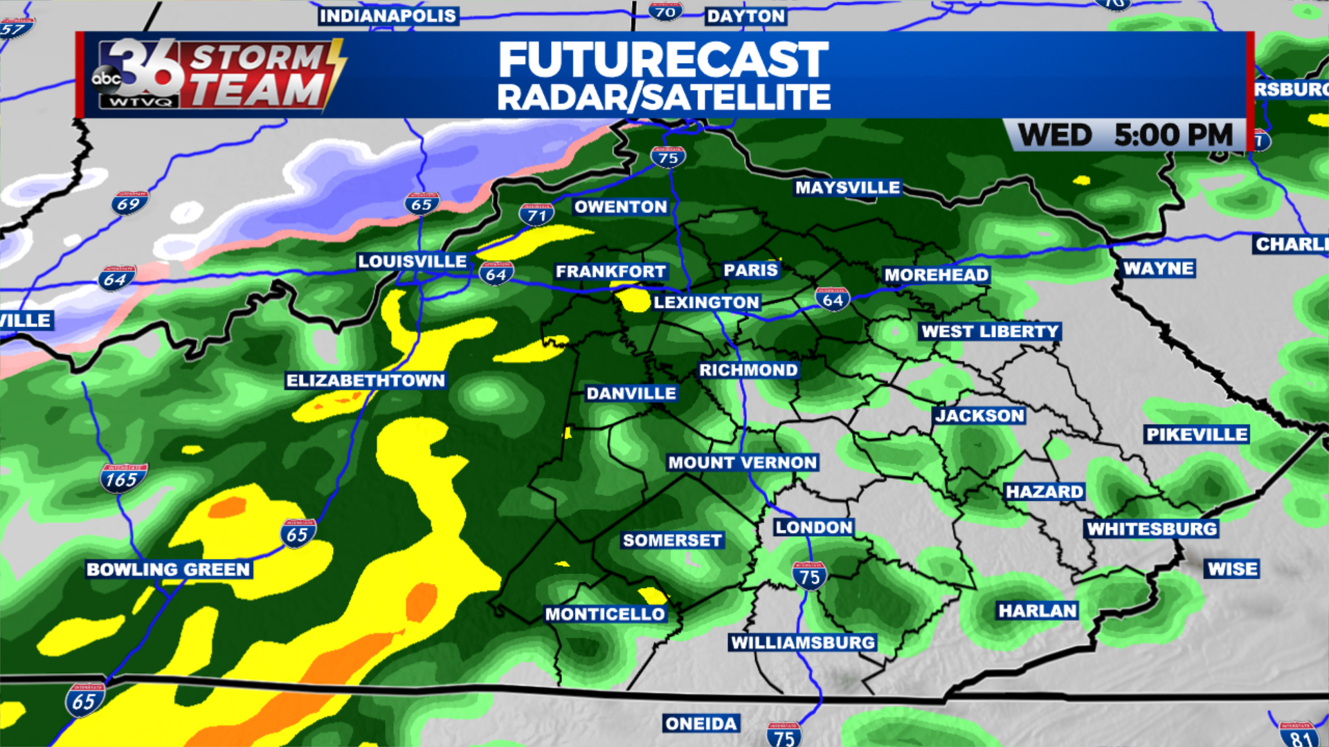
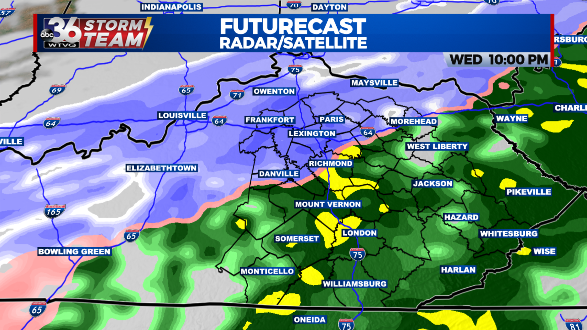
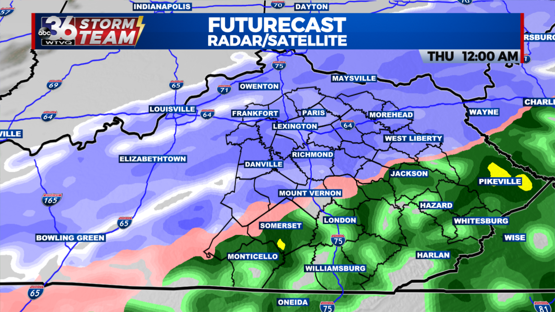
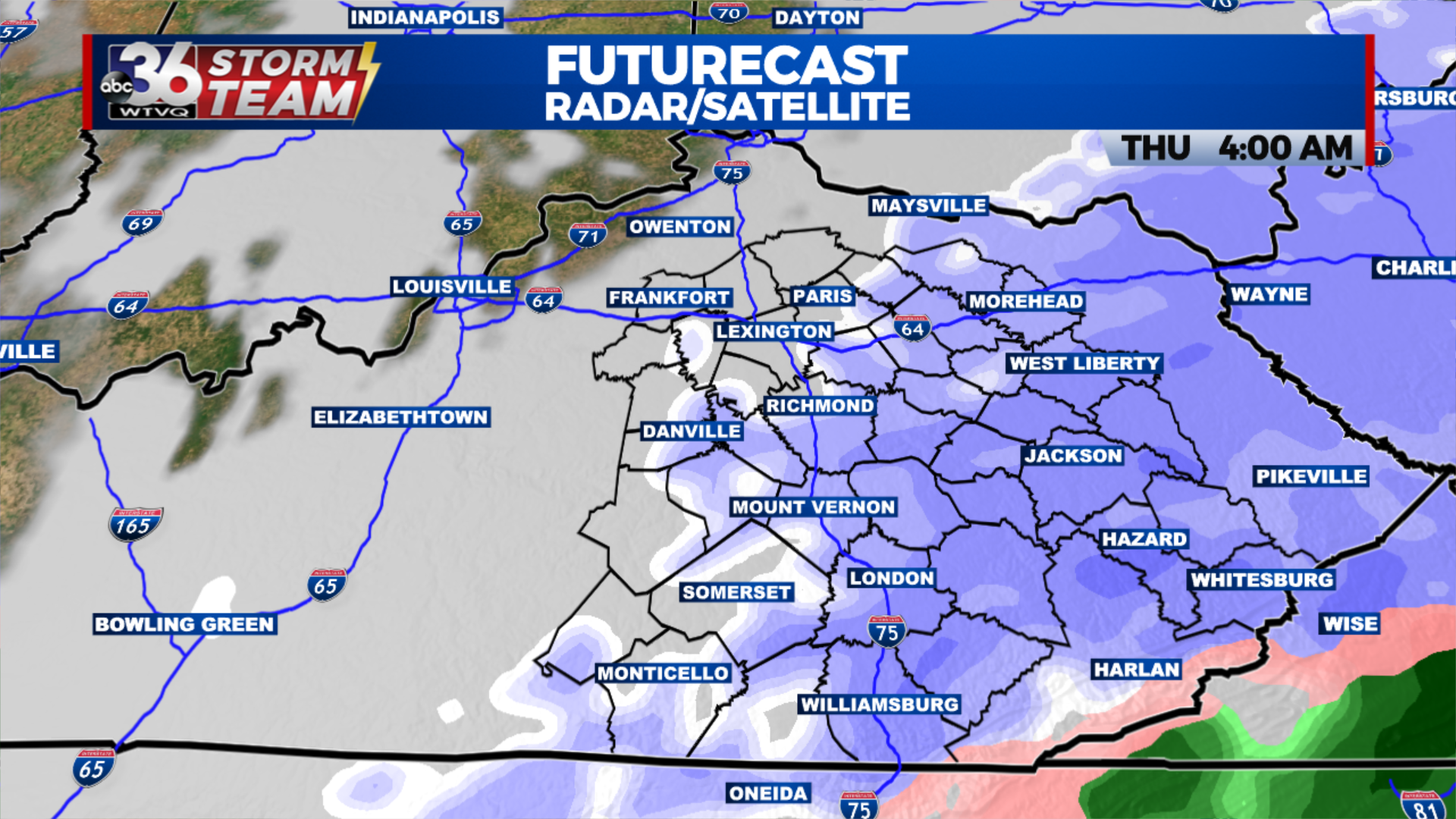
Yet another wintry mess is on the way for central and eastern Kentucky late Wednesday. We will start the day on Wednesday with rain showers moving in during the midday before we transition to all snow by the evening hours. Winter Weather Advisories have been issued for all of the ABC 36 viewing area due to the threat of heavy snow and falling temperatures creating difficult travel conditions overnight and into Thursday morning.

A Winter Weather Advisory goes into effect for all of the ABC 36 viewing area this evening.
Areas along and south of I-64 could see upwards of 2-4 inches of snow, with isolated higher amounts possible. Our far northern and southern counties will see 1-2 inches of snow, but will still see threat of slick roads.

Weather hazards on the way overnight
Temperatures will be plummeting overnight into the teens by Thursday morning creating icy conditions on the roadways. Those cold temperatures will be here to stay through the end of the week as afternoon highs will struggle to reach the mid 20s and overnight lows will be falling into the single digits.


Leave a Reply