Much needed rain falls across Central and Eastern Kentucky, now we dry out into the late week
Hazy and smoky skies will return with the sunshine thanks to winds out of the northeast.
It was just what the doctor ordered across Central and Eastern Kentucky on Wednesday…and that was RAIN! While it wasn’t overly heavy, we did see a nice steady rain for awhile in many locations adding some much needed water to the ground after our recent dry spell. Rain totals ranged from roughly .25″ to around .75″ so we’ll take it. The clouds and rain held temperatures in check as most spots stayed into the 60s for the bulk of Wednesday.

With the front moving south and high pressure moving in, we are set-up for a very nice stretch of weather to end the week and kick off the upcoming weekend. You’ll need to watch out for a bit of patchy fog Thursday morning, especially in Southern Kentucky before the sunshine burns it off and we enjoy a nice afternoon. Temperatures should begin the day in the upper 40s and low 50s but should warm nicely into the mid-70s for highs across much of the region. Our in-house data wants to crank out a few isolated showers down south on Thursday afternoon but I really think this is a bit overdone and we should be dry overall. One caveat is that the northeast flow behind the front will bring additional haze/smoke into the area through the end of the week so keep that in mind.


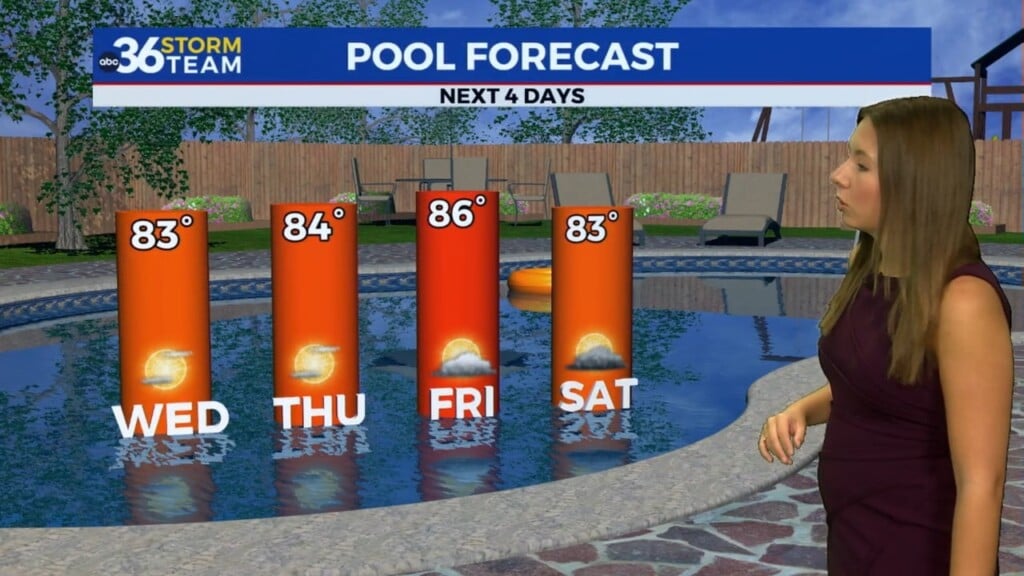
The dry June weather will roll along through Friday and into the upcoming weekend. As high pressure dominates and begins to drift into Eastern Kentucky we should enjoy a couple of quiet days with afternoon highs in the upper 70s on Friday before climbing into the low 80s on Saturday. With humidity levels fairly low, it should be good weather for any outdoor activities through Saturday as the haze/smoke conditions slowly improve.

Even though our next storm system will be approaching on Sunday, there is a bit of good news in that the model data is slowing the arrival of the rainfall so we may end with a mainly dry weekend! Of course the humidity will increase a bit as moisture pools ahead of the boundary but at this point much of the showers and storms should hold off until Sunday evening and continue as we head into next week. With the later arrival, highs may now reach the low 80s before backing down into the 70s Monday with the rain cooled air.


ABC 36 HOUR FORECAST
WEDNESDAY NIGHT: Clearing out, fog late especially south. Lows in the upper 40s and low-50s.
THURSDAY: Mostly sunny and pleasant. More haze. Highs in the mid-70s.
THURSDAY NIGHT: Mostly clear and quiet. Lows in the low-50s.