Hottest temperatures of the summer on the way for the late week
A Heat Advisory is out for Friday for parts of the area as heat indices may be over 100 degrees at times
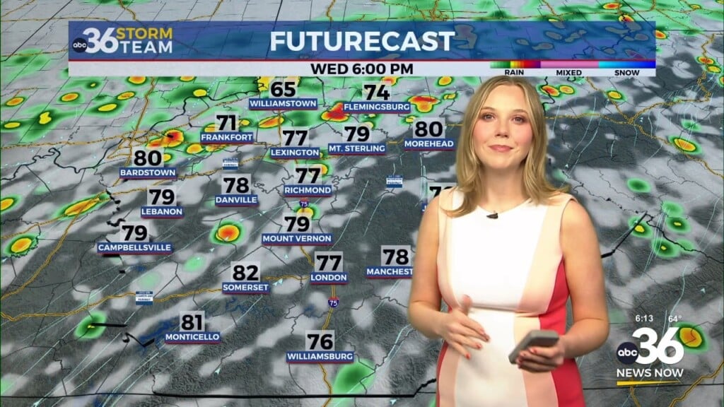
It was another hot and humid day across Central and Eastern Kentucky on Wednesday with afternoon highs dancing around to 90 degree mark in most locations. With a strong southwest wind pumping in the moist air, humidity levels were elevated which added to the discomfort factor if you were out for any length of time. Heat indices did creep into the upper 90s in a few spots and those should go even higher during the afternoon highs over the next few days.
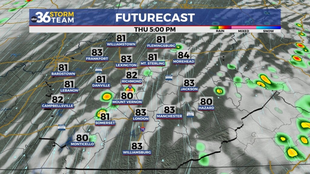
Thursday may be an interesting day and a bit tricky relative to our temperature forecast given a wave of low pressure sliding by to our north. While the majority of the thunderstorms should stay to our north, the rain-cooled air from storms that diminish should drift south and interact with all the warm, moist air over our area thus fueling a few isolated to scattered storms. The best window for the storms should be overnight and into Thursday morning. With the clouds and storms around, this could have an impact on afternoon highs by holding the mercury down a bit. It will still be hot and humid again with highs into the low 90s.
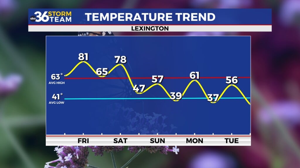
Our hottest temperatures of the summer season so settle in on Friday as high pressure continues to dominate our weather. With afternoon highs in the mid-90s and humidity levels expected to be high as well, we could see heat indices in between 100 and 105 degrees, which puts part of the area in the range for heat related problems. At this point, a Heat Advisory is out for the Bluegrass Region and points westward from 11am to 10 pm Friday so you’ll want to take the proper precautions and find a cool spot if you can.
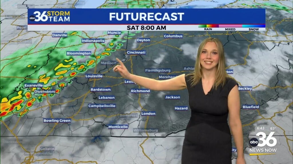
Saturday is a bit of a wildcard as temperatures are expected to once again sneak into the low 90s with heat indices around 100 degrees. The caveat is how quickly any isolated storms develop as a frontal boundary slowly sags south through the Ohio Valley. Be prepared for another uncomfortable day and take the proper heat prevention steps and limit times outdoors, especially with the heat continuing into the weekend.
The front will eventually roll through the area on Sunday so expect a little more coverage with thunderstorms here in the commonwealth. As the clouds and storms should hold our temperatures into the upper 80s, which is right around average for this time of the year. High pressure will build in from the north as the jet-stream dips southward a bit so we should enjoy a break from oppressive heat on Monday and Tuesday as a northeast wind brings cooler and less humid air into Kentucky. Afternoon highs should be in the mid to upper 80s, which will be a nice way to finish out July before things heat up a bit to kick off August.
ABC 36 HOUR FORECAST
WEDNESDAY NIGHT: Warm and muggy, isolated storms. Lows in the low to mid-70s.
THURSDAY: Breezy and hot with isolated storms. Highs in the low-90s.
THURSDAY NIGHT: Mostly clear, warm and muggy. Lows in the mid-70s.


