Hazy sunshine but dry and warm to end the week
We'll continue to see some smoke particles from the Eastern Canada wildfires Friday before we see some improvement this weekend
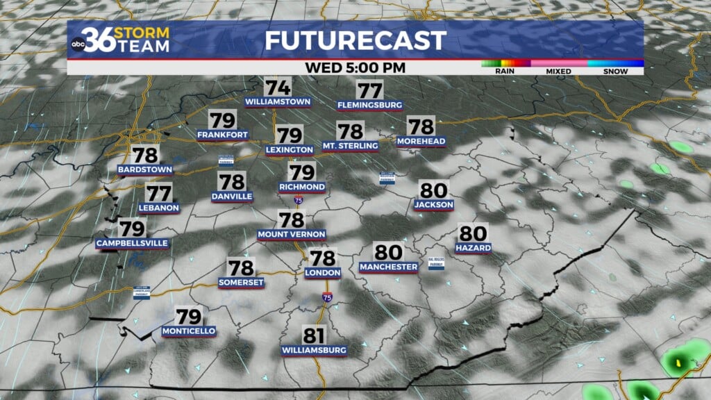
After some beneficial rain across Central and Eastern Kentucky on Wednesday, we enjoyed a dry and pleasant Thursday across the area with highs topping out into the mid-70s. Once again with a northeast flow in place, we saw hazy sunshine as the smoke particles from the on-going wildfires across Eastern Canada dropped into the Ohio Valley. This lower air quality readings and we should see one more day of it Friday before we see some improvement in that regard. The smoke and haze has made for some delightful sunrise and sunset pictures this week.


Expect more of the same to close out the week Friday with tranquil weather expected thanks to high pressure building in from the northwest. Even with some of the residual haze/smoke in the lower levels we should see enjoy filtered sunshine to drive afternoon highs into the upper 70s to around 80 degrees, despite a cool start with readings in the upper 40s and low 50s Friday morning.


We are still looking at a pretty nice June weekend across the area as high pressure drifts off to our east. With more of a south wind at the surface, the haze shouldn’t be a prominent on Saturday plus we’ll have abundant sunshine and highs in the low 80s so it should be a great late spring day for any outdoor activities. Our next storm system will be making a run into the region Sunday but it still looks likely the majority of the rain/storm chances hold off until late day/early evening so much of the day should be dry. With the later arrival, highs should reach the low and mid-80s.

More rain should be on the way into Monday as the frontal boundary and a wave of energy moves across the commonwealth. With the clouds and rain around, highs should be a touch cooler as afternoon highs back down into the mid-70s. Some of the data is indicating the frontal boundary will stall out just south of Kentucky keeping a daily chance of a few showers/storms around as waves of energy ride along it. We’ll definitely take the additional rain as the latest Drought Monitor has much of Central and Southern Kentucky in a Moderate Drought (D1) with abnormally dry conditions surrounding those areas (D0).


ABC 36 HOUR FORECAST
THURSDAY NIGHT: Clear skies and quiet. Lows in the upper 40s and low-50s.
FRIDAY: Mostly sunny and warm. More haze. Highs in the upper-70s to around 80 degrees.
FRIDAY NIGHT: Clear skies and pleasant. Lows in the low-50s.