Great weather for late October rolls on into the weekend
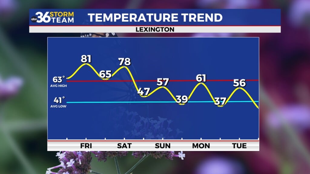
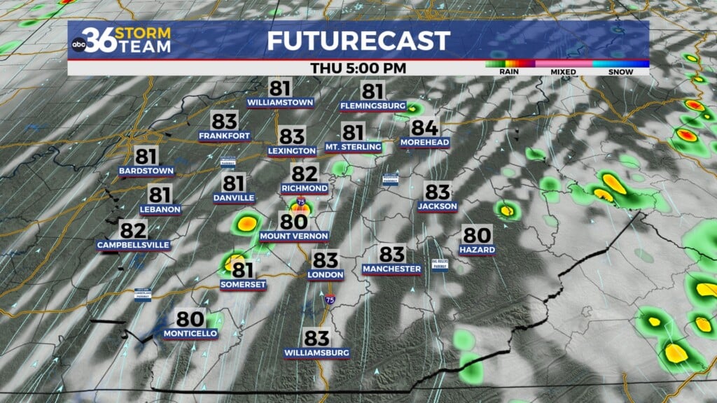
After a cool week across Central and Eastern Kentucky, we are looking at above average highs the next several days
It seems as if we’ve managed to see practically all 4 seasons within a few days across Central and Eastern Kentucky this week. From an early snow, to a hard freeze, to temperatures climbing back into the 70s, we’ve seen it all! Timing is everything and it looks like our exceptionally pleasant weather pattern is going to stick around this week and into early next week. This will probably be the last weekend to really enjoy the fall foliage as many locations are at or getting past peak with colors.
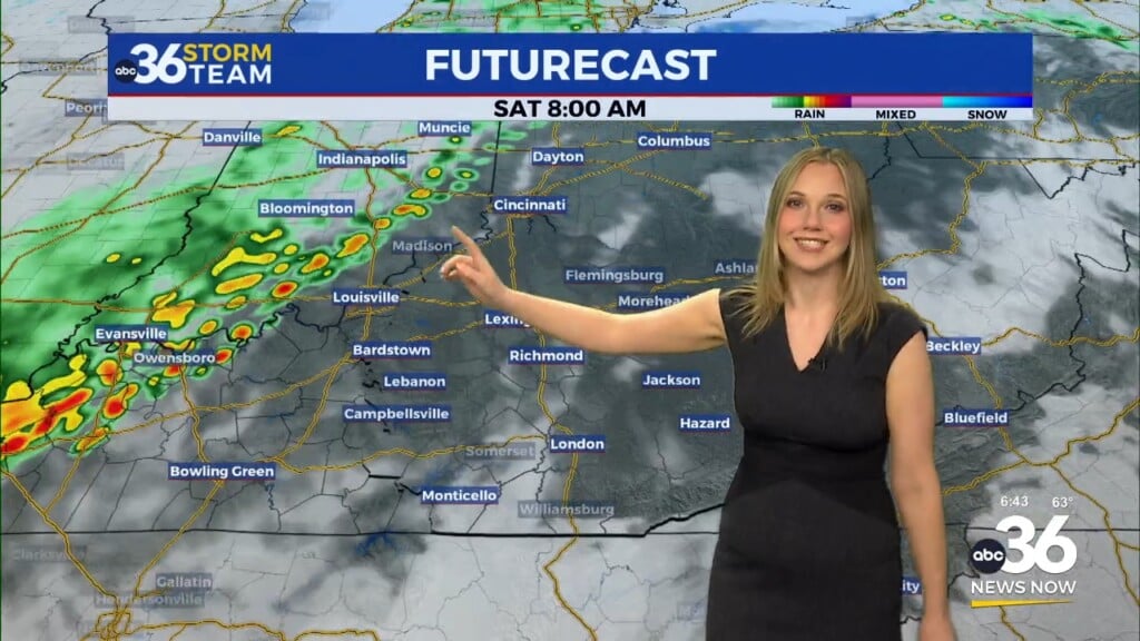
Rolling into Saturday, high pressure will continue to dominate so expect sunshine, a few highs clouds and afternoon highs climbing back into the mid-70s, which is a few degrees above average for this time of the year. Pretty idea for this time of the year to say the least.
Fall festivals are in full swing across the area and our weather couldn’t be any better for all the outdoor activities. It’s the 35th anniversary of the Wooly Worm Festival in Beattyville in Lee County. A little background and history lesson…this festival was started by Rosemary and Mac Kilduff. Rosemary was from Beattyville and in their later years, Mac ran the newspaper and Rosemary would always right an annual column about the wooly warm predicting the upcoming winter weather as part of Kentucky folklore and the Woolly Worm Festival was born. If the name Mac Kilduff sounds familiar, he was President John F. Kennedy’s Assistant Press Secretary who was in Dallas with him on November 22, 1963. Sadly it was left to him to announce to the world that President Kennedy had been assassinated. He and Rosemary were wonderful people, and I had the pleasure of interviewing them about the festival many times before they passed on.
The awesome weather should roll along into early next week with the area of high pressure sits over the Carolinas. With the south to southwest flow pushing additional warm air into the region, afternoon highs could legitimately make a run into the upper 70s to near 80 degrees early next week! And just to think it snowed a few days ago!
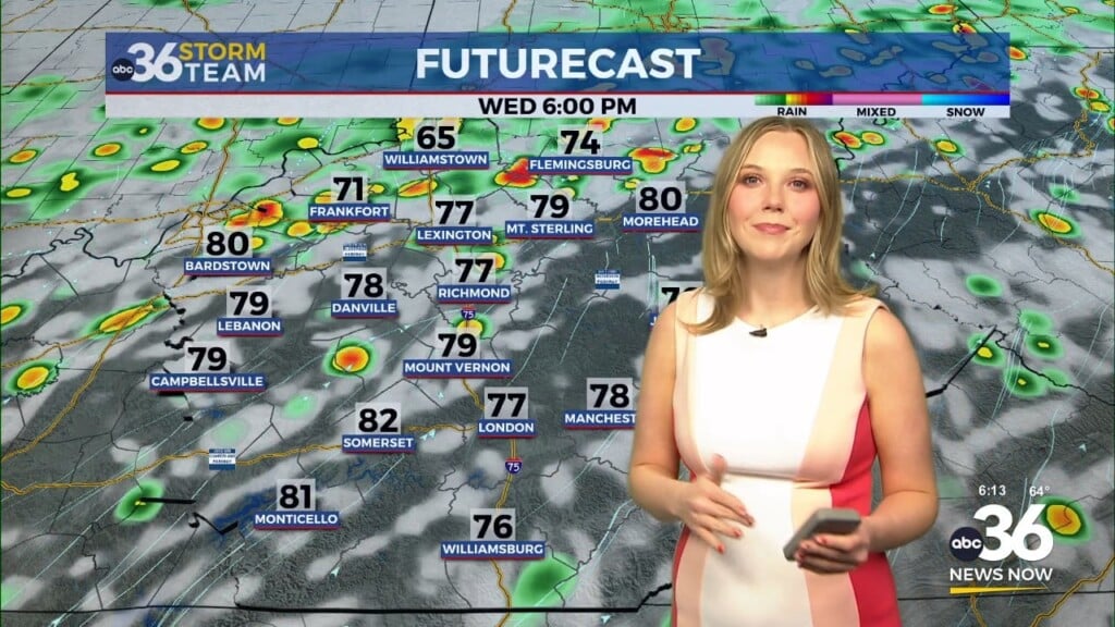
The only downside of the great weather is that we are very dry across the region. The latest Drought Monitor has much of the state in a Moderate Drought, plus a number of counties in the Bluegrass have “burn bans” in place. Just be smart and don’t do any outdoor burning or be careless in that regard. The good news is that some beneficial rain is on the way by the middle of next week!
ABC 36 HOUR FORECAST
FRIDAY NIGHT: Mostly clear and pleasant. Lows in the upper 40s and around 50 degrees.
SATURDAY: Mostly sunny and very nice. Highs in the mid-70s.
SATURDAY NIGHT: A few clouds, still pleasant. Lows in the upper 40s and low 50s.


