Feeling more like July with a few breaks in the unsettled weather pattern
Friday and Sunday may be our best bets for drier days here in the commonwealth.
It sure felt more like summer on Thursday across Central and Eastern Kentucky as the humid air returned to the area. Dewpoint temperatures climbed into the low and mid-70s, which makes for a tropical like feel to the air…basically South Florida without the beach. That’s a far cry from the comfortable air we enjoyed the first 3 days of the week. Of course the moisture returning set the stage for scattered thunderstorms to develop ahead of a frontal boundary dropping into the Ohio Valley. A few strong storms will be possible through the evening Thursday with damaging winds and large hail being the primary threats. Temperatures managed to make a run toward the 90 degree mark for afternoon highs Thursday with heat indices in the mid-90s. It was a pretty start to the day despite the warm to hot air later in the day.
There is good news heading into Friday as the boundary washes out and our storm chances become isolated at best. With a mix of clouds and sunshine, afternoon highs should run back into the upper 80s to around 90 degrees. Humidity levels will be down slightly so heat indices shouldn’t be off the charts but overall it will stay rather muggy heading through the weekend and into early next week.
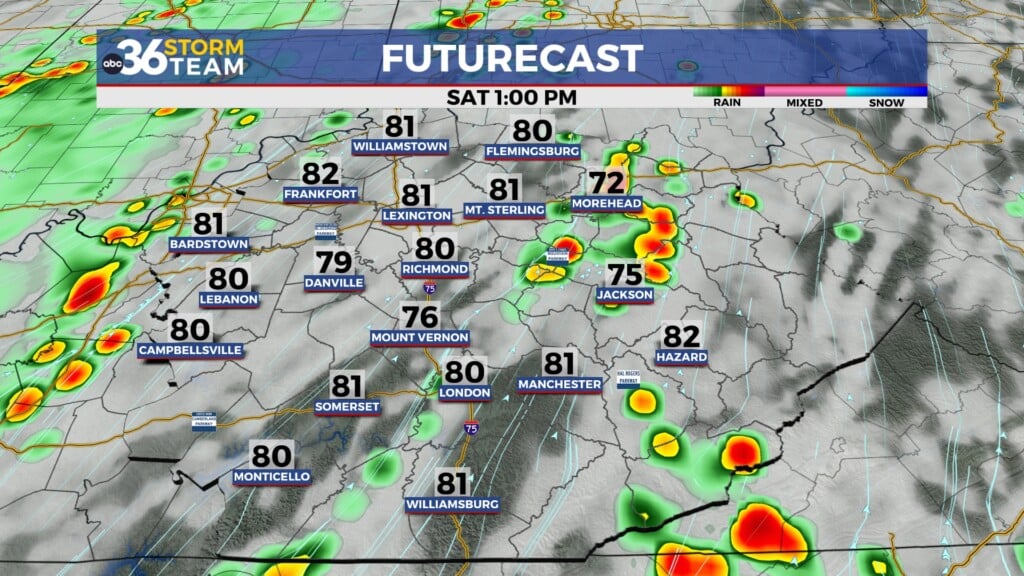
Another frontal boundary will approach from the west on Saturday, increasing our chances for showers and storms. While we aren’t looking at a big severe weather threat, the Storm Prediction Center does have our area under a Level 1 risk (out of 5) for Saturday with damaging winds, some hail and heavy rain the main threats. Keep that in mind as plenty of outdoor activities will be on going so make sure and stay weather aware. Storm chances will be much less on Sunday with highs in the upper 80s.
This typical July weather pattern with multiple rounds of storms is set to stick around into next week as the big bubble of heat holds tight across the Southern Plains and the Southwest while an upper level low stays camped out over Southern Canada. This type of set-up puts the Ohio Valley in line for multiple rounds of storms on occasion as waves of energy cruise through the northwest flow aloft. Of course it won’t rain all day, every day but keep the rain gear handy as highs remain mainly in the mid to upper 80s.
ABC 36 HOUR FORECAST
THURSDAY NIGHT: Warm and muggy, a few storms. Lows around 70.
FRIDAY: Hot and humid, mainly dry. Highs in the upper-80s to around 90.
FRIDAY NIGHT: Warm with showers and storms returning. Lows upper-60s to around 70 degrees.


