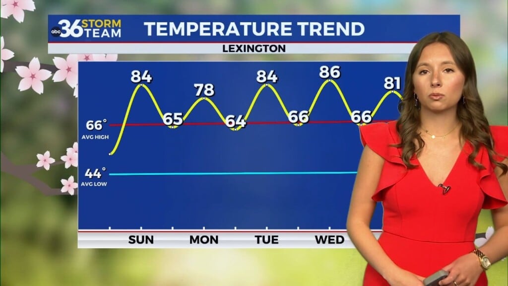
Delightful weather to wrap off August and kick off September
Temperatures will be unseasonably mile Thursday before bumping up a few degrees heading toward the holiday weekend
It was a very pleasant Wednesday weather-wise across Central and Eastern Kentucky as a weakening boundary ushered in some drier and pleasant air to the region, especially for the end of August. With a good bit of sunshine and a breezy northeast wind, afternoon highs were held in check with readings in the upper 70s in most locations. We did see a few scattered clouds in Eastern Kentucky from land-falling Hurricane Idalia to our southeast but that was the only blemish on a delightful day. We started out the morning very pleasant with a pretty sunrise for most.

The good news is that the unseasonably mild air will be sticking around as we close out the month of August on Thursday. Even though the area of high pressure will drift eastward toward New England, we’ll still see a pleasant northeast breeze which will keep temperatures and humidity levels in a good range. With early morning lows expected to be in the mid-50s (which is a bit cool for late August) afternoon highs should only reach the upper 70s to around 80 degrees so you’ll want to enjoy and get outdoors if you can.

Of course the big story in the world of weather Wednesday was the land-fall of Hurricane Idalia in the “Big Bend” area of North Florida along the Gulf of Mexico. The official land-fall occurred at 7:45am at Keaton Beach Florida with Idalia a Category 3 hurricane with maximum sustained winds at 125 miles per hour at the time. It had briefly spiked up to a Category 4 a few hours prior to hitting the coast but weakened slightly. Of course there was very high storm surge along the coast, especially to the east of the center along with destructive winds, flooding rains and tornadoes spinning up as the system rolled northward through Southern Georgia and into South Carolina. It should eventually head back out over water and into the Atlantic on Thursday moving away from the mainland and weakening out. Below is a radar image at landfall on Wednesday morning.

Our weather will remain very tranquil as we kick off September and head into the Labor Day weekend. High pressure will be anchored to our northeast, which will allow a bit of a south flow to return so expect warmer temperatures beginning Friday. It should be the exact opposite of last Friday relative to high school football when severe weather cancelled many games. This week it should be pretty nice with temperatures falling into the 70s under fair skies as the games are played.

With more sunshine around afternoon highs should reach the upper 80s Saturday, which of course is the kickoff for Kentucky’s 2023 football season as the Cats take on Ball State at Kroger Field at Noon. You’ll want to hydrate properly and use plenty of sunscreen…and that goes for any outdoor activities over the holiday weekend. Afternoon highs finally climb into the low 90s through Labor Day but at least our humidity levels shouldn’t be off the charts like the heat wave we saw at the end of last week.


ABC 36 HOUR FORECAST
WEDNESDAY NIGHT: Fair skies, breezy and pleasantly cool. Lows in the mid-50s.
THURSDAY: More sunshine, still nice. Highs in the upper-70s to around 80 degrees.
THURSDAY NIGHT: Mostly clear and quiet. Lows in the mid-50s.