Cold air sticks around this weekend but milder days are on the horizon
We should see plenty of sunshine the next few days but cold high pressure will keep temperatures well below average
We finally saw some much needed sunshine, especially here in Central Kentucky to end the week Friday, which was a welcome change after all the cloud cover of late. We did have some morning snow showers that dusted the ground in the Lexington area during the morning hours before moving eastward and dissipating. Afternoon highs remained chilly but manageable in the mid to upper 30s.

It’s “Frost Flower” season, which typically happens in mid to late November here in Central and Eastern Kentucky. What is a frost flower and what is the scenario that creates it? Below is an explanation courtesy of the National Weather Service in Louisville.
“Frost flowers are thin layers (perhaps credit card thickness) of ice that are extruded through slits from the stems of white or yellow wing stem plants, among others. Their formation requires freezing air temperature, soil that is moist or wet but not frozen, and a plant’s stem that has not been previously frozen. (Practically speaking, a once per year event, although not all individuals produce frost flowers on the first day of good conditions). The water in the plant’s stem is drawn upward by capillary action from the ground. It expands as it freezes and splits the stem vertically and freezes on contact with the air. As more water is drawn from ground through the split, it extrudes a paper thin ice layer further from the stem. The length of the split determines if the frost flower is a narrow or wide ribbon of ice. It curls unpredictably as it is extruded, perhaps from unequal friction along the sides of the split, to form “petals”. These flowers, no two of which are alike, are fragile and last only until they sublimate or melt.”

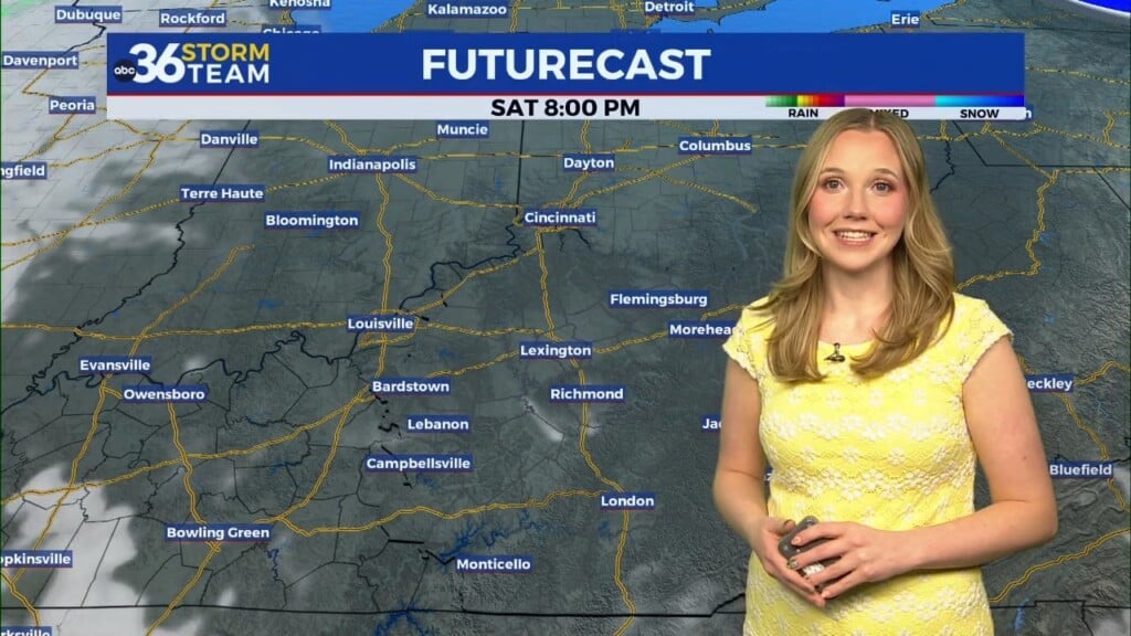
Heading into the weekend, we are looking at yet another cold front that will bring additional cold air into the area late Saturday. While we should see plenty of sunshine, it will be a breezy and chilly day. The southwest wind should actually help to push high temperatures into the upper 30s to low 40s, but the strong wind will counteract things a bit with wind chills down into the upper 20s and low 30s. The big game with Kentucky and Georgia at Kroger Field late Saturday afternoon should be dry but make sure and dress accordingly, not only for tailgating but for the game as it will be dark and getting colder during the 2nd half of the game.


Our coldest day over the next week will be on Sunday as very cold high pressure sits right over head. After starting in the mid-teens, afternoon highs will only recover into the mid-30s even with full sunshine. Our much anticipated “warm-up” kicks in Monday to begin Thanksgiving week as a return flow behind the departing high helps push afternoon highs into the upper 40s and Monday and low 50s Tuesday. It looks dry until late Thanksgiving at this point but the model data hasn’t synced up yet with the timing of our next rain chances. Have a great weekend!

ABC 36 HOUR FORECAST
FRIDAY NIGHT: Scattered clouds, clearing late. Lows in the upper teens and low 20s.
SATURDAY: Mostly sunny, breezy and chilly. Highs in the upper-30s.
SATURDAY NIGHT: Fair skies and very cold. Lows in the mid to upper teens.