After a rainy and stormy Tuesday, our attention focuses to much colder temperatures
We could still see a few additional showers and storms as the cold front moves through Wednesday
Lexington, Kentucky: Good Tuesday evening, it has been an active day across central and eastern Kentucky with rounds of rain and storms since the overnight. Severe storms remained at a minimum, but flooding issues have been a pretty big issue. Central Kentucky was the bullseye for these flooding issues this morning with a corridor of 3″-5″ setting up. Parts of Anderson county picked up over 5″ and saw significant flooding. Bourbon county saw right at 5″ during the morning commute and that caused a school bus to be stranded in flood waters with 9 kids on board. Thankfully no injuries were reported anywhere in Kentucky.


Our focus now shifts to just plain rain for the remainder of the evening. With such a saturated ground, some local high-water issues still remain possible. We look to dry up skies later this evening into the early overnight before another round of rain moves in early in the day on Wednesday across southeastern Kentucky. This looks to just be general rain with no severe chance. The rest of our Wednesday looks dry after the rain pulls away with some sunshine returning with high temperatures into the low 60s around noon before a drop in temperatures later in the afternoon and evening.

That sets the stage for a dry and chilly Thursday and Friday with lows back into the low 30s and highs in the low to mid-40s. Skies look completely dry.

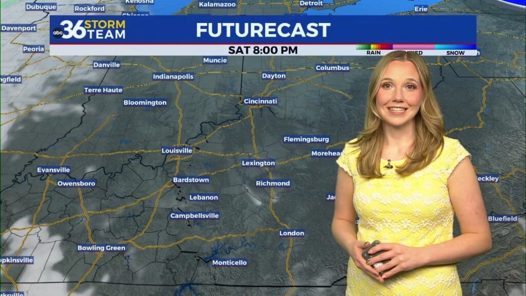
Our next chance of rain moves in on Saturday and last into Sunday. This doesn’t look like a huge deal at this time, but you will want to have the rain gear handy for any weekend plans you have. Temperatures will be in the mid-40s on both days. There is a chance the rain ends as a few snowflakes on Sunday night into Monday, but at this time that looks about it in terms of any wintry precipitation.
TUESDAY NIGHT: Clouds continue with scattered showers early in the evening with temperatures in the upper 50s.
WEDNESDAY: After rain early in the day in southeastern Kentucky, we break out into a mix of sun and clouds with high temperatures in the mid-60s dropping into the 50s.
WEDNESDAY NIGHT: Skies begin to clear with temperatures in the mid-30s.