Temperatures on the rise heading into the mid-week
Highs could surge toward the 70 degree mark in spots Wednesday
It was a beautiful fall day across Central and Eastern Kentucky on Tuesday with plenty of sunshine and nice temperatures. Chilly temperatures and patchy fog early gave way to a mostly sunny afternoon, helping the beautiful fall colors in place across the area to really pop out. Winds shifted to the south at around 5 to 10 miles per hour giving afternoon highs a nudge back into the low 60s for afternoon highs, which is right around average for this time of the year.
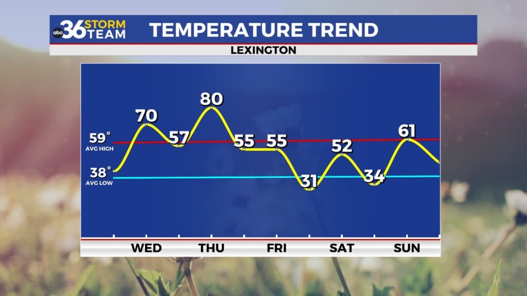
Wednesday should feature the mildest day of the week as a dry frontal boundary approaches from the northwest. Southwest winds should crank up a bit more with a breezy day on tap. Wind gusts look to be in the 20 to 25 miles per hour range and that combined with the sunshine will help push afternoon highs all the way into the upper 60s in most spots. A few locations down south could even reach the 70 degree mark with a few passing clouds only associated with the front.
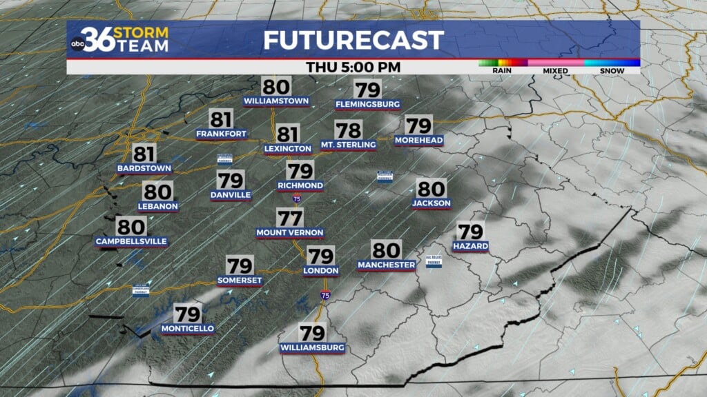
Slightly “cooler” air will drop in behind the departing boundary on Thursday with a mix of clouds and sunshine along with afternoon highs in the low 60s. High pressure in control will keep us dry as it quickly drifts eastward ahead of a stronger storm system that will arrive on Friday. The end of the week looks windy and wet with gusty rain showers and a few thunderstorms possible as a cold front moves in. Afternoon highs will reach the upper 60s thanks to strong southwest winds gusting 35 to 40 miles per hour so whatever rain we have will be blowing around due to the wind. It may end up being a messy evening for the first round of high school football playoffs here in the commonwealth so be prepared for that.
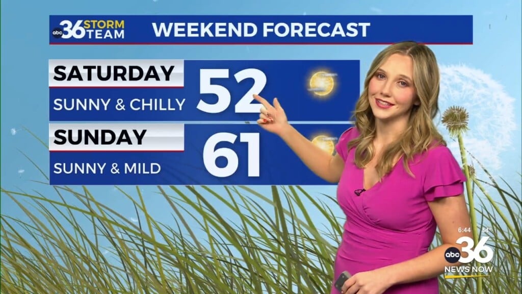
While it looks dry to begin the weekend, our active weather pattern should stay in place during the extended period. Saturday should feature partly sunny skies and highs in the upper 50s to around 60 degrees. The latest data holds off showers associated with yet another front until after Midnight and into Sunday morning so that would be ideal given the 7:30 pm kickoff for Kentucky and Florida at Kroger Field on Saturday night. Plan on a cooler evening with temperatures dropping into the upper 40s by the end of the game so it will be a bit chilly. We are looking at a legitimate shot of cold air into early next week and with some upper level energy rotating by to our north, a few snow flurries could be on the table Sunday night and into Monday with highs struggling into the low to mid-40s to begin next week!


