Mainly dry conditions expected to close out May
A shower or two is possible in spots on Saturday
Friday began on an active and dangerous note across Central and Eastern Kentucky as a developing area of low pressure brought widespread rain and storms during the morning commute. As forecast, the environment supported a low-end severe weather threat—one that sadly materialized in the form of a brief tornado in eastern Washington County. The EF-2 twister with winds around 115 MPH caused structural damage to several homes and led to one fatality and several injuries, underscoring the need to stay weather-aware even during lower-risk events. Behind the morning system, breezy northwest winds took hold along with some gusty showers and storms as afternoon temperatures struggled only reaching the upper 60s and low 70s—well below average for this time of year.

Drying Out and Calming Down for the Weekend
As we wrap up the month of May and welcome June, things are finally starting to settle down. Saturday is looking fairly nice overall across Central and Eastern Kentucky. A weak front will dip in from the north, and while it might squeeze out a few isolated showers, most of us will stay dry. Expect a pleasant mix of clouds and sunshine with highs comfortably reaching into the mid-70s—perfect for any outdoor plans that might have been postponed by Friday’s rough weather, including the Railbird Music Festival here in Lexington.


Sunday Brings a Sunny Start to June
The first day of June is shaping up beautifully. A light northwest breeze will help keep conditions feeling fresh and comfortable with mostly sunny skies and highs in the low 70s. It will be a bit cooler than average, but a very pleasant end to the weekend. Some locations—especially to the north—could dip into the upper 40s and low 50s Sunday morning before warming back up through the day.

Summer Vibes Return Next Week
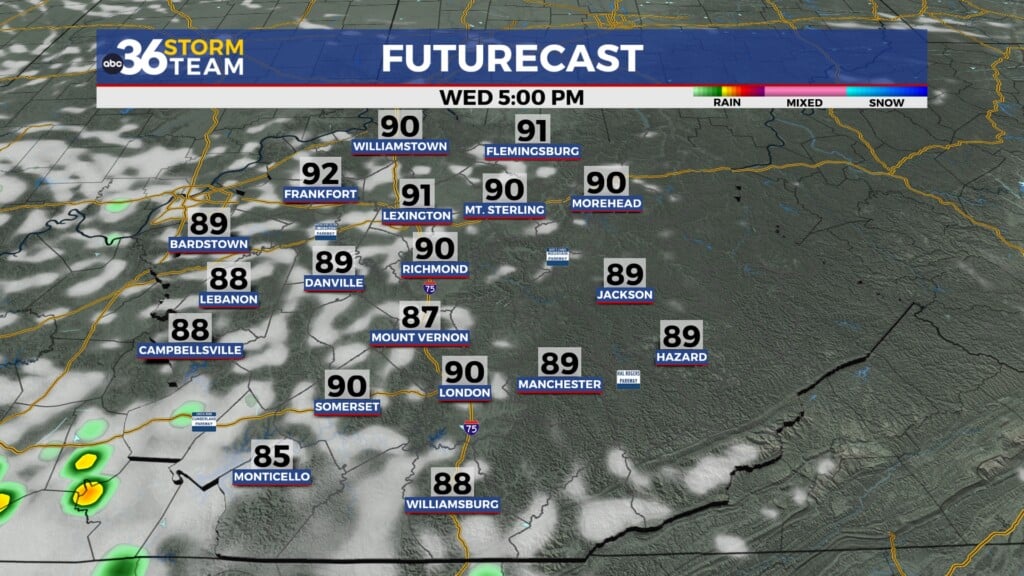
If you’ve been waiting for more consistent summer-like weather, you’ll like what’s ahead. Monday marks the beginning of a warming trend as high pressure builds across the region. Look for plenty of sunshine and highs returning to near 80 degrees. That trend continues into Tuesday and Wednesday as southerly winds crank up, pushing highs into the low to mid-80s along with increased humidity. It’ll feel more like early June should. Rain and storm chances will increase by late Wednesday into Thursday as the next front makes a run at the Ohio Valley, but temperatures should remain warm and above average.

Friday Night: Mostly cloudy, a few showers possible. Lows in the mid-50s. Wind: W 5-10 mph.
Saturday: Mostly sunny and breezy, isolated showers mainly south. Highs in the mid-70s. Wind: NW 10-15 mph.
Saturday Night: Mostly clear and cooler. Lows in the upper-40s. Wind: NW 5-10 mph.