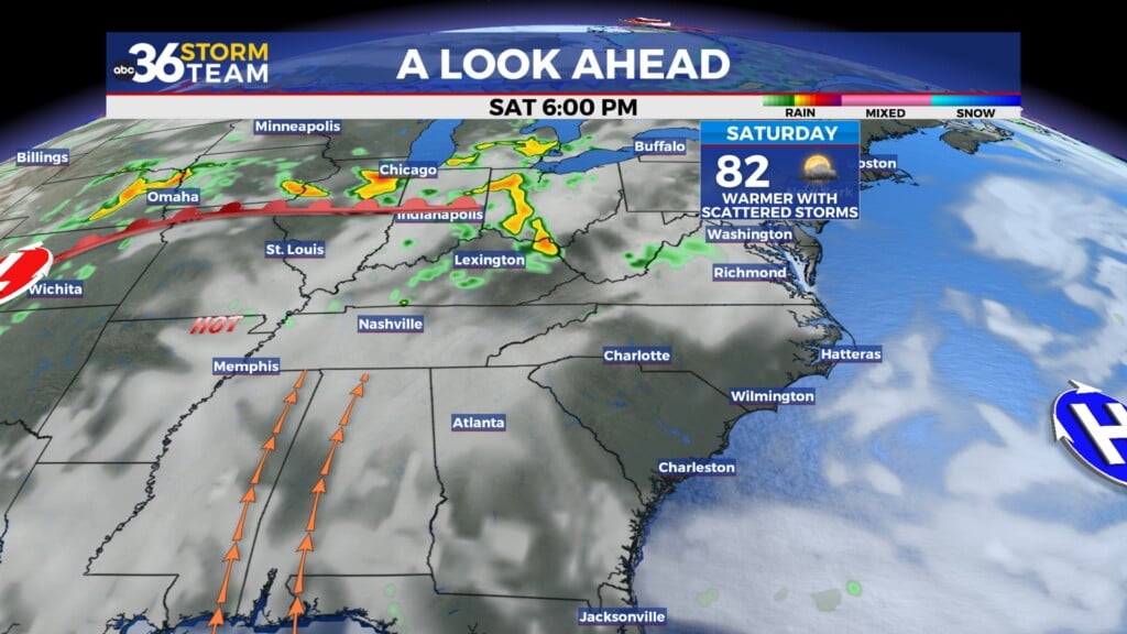
Spring-like weather is back but so are rain and storms chances into Tuesday
Afternoon highs surged into the 70s Monday as the late February roller coaster weather pattern continues
It was an incredible start to the week of February weather wise across Central and Eastern Kentucky as we enjoyed another spring-like day with temperatures a good solid 20 degrees above average for this time of the year! After a few early morning showers, we enjoyed plenty of sunshine and a strong south wind which helped push afternoon highs all the way into the low-70s, which was just shy of record highs for February 26th in a few locations.

The good news is that the unseasonably mild/warm air will hang around on Tuesday despite more clouds and a few showers and some thunder from time to time. Winds sustained at 20 to 25 miles per hour will help to contact the clouds/showers holding temperatures down so expect afternoon highs to run back into the upper 60s to low 70s in most locations. It shouldn’t be a washout by any means and we should see some dry times especially later in the day. Due to the strong wind potential, there is a Wind Advisory out for the Bluegrass region from 1pm Tuesday until 10am Wednesday.


The much advertised strong cold front is set to arrive here in the Ohio Valley during the early hours of Wednesday bringing a better chance for rain and thunderstorms. The timing actually works to our advantage as instability should be lower during the overnight hours so the likelihood of organized severe weather appears to be better for areas to our north and northwest.


The big story will be crashing temperatures as we head through the day on Wednesday. Based on the current timing of the front, temperatures should be in the low 60s around daybreak but as the front moves eastward across the area, gusty winds will shift to the northwest bringing in much colder air in the process. As a result, temperatures will crash into the upper 30s and low 40s by the late afternoon so keep that in mind and take a coat along Wednesday morning. While the majority of the moisture should be out of the region by the time the cold air catches up, we could see a quick burst of a snow shower as the moisture pulls out.


We’ll see a few days of seasonable temperatures for “Leap Day” Thursday and to kick of March on Friday before we continue the “yo-yo” like temperatures into the first weekend of the new month. With dry conditions expected, afternoon highs should recover into the low 60s Saturday before making a run at the 70 degree mark as we finish out the weekend Sunday. It should be a nice weekend for this time of the year so hopefully the forecast holds as our next rain chance looks to arrive Sunday night and into early next Monday.

ABC 36 HOUR FORECAST
MONDAY NIGHT: Breezy with a few showers, some thunder. Lows in the mid-50s.
TUESDAY: Windy and warm, a few showers and storms. Highs in the low 70s.
TUESDAY NIGHT: War with more wind and storms. Lows in the low 60s.


