Milder temperatures into the weekend as some cloudiness sticks around
It should feel pretty comfortable with highs in the upper 70s the next few days but isolated showers can't be ruled out in the east
With scattered clouds and a bit of sunshine mixed in from time to time, it tuned out to be a pretty comfortable Thursday across Central and Eastern Kentucky. The frontal boundary that moved in late Wednesday took its time working out of the commonwealth so we saw a few scattered showers and storms develop ahead of it through the mountains of Eastern and Southeastern Kentucky. A bank of low to mid-level clouds increased late in the afternoon and we should see more of that over the next few days. The good news is that we’ve finally broken out of the heat as afternoon highs mostly staying in the 70s Thursday with a few spots topping the 80 degree mark.

It should be a fairly pleasant finish to the week across the area with a mix of clouds and sunshine as high pressure tries to win out to our northwest. Even though we’ll see some drier air at the surface, we should see some clouds develop through the afternoon. This combined with a light north wind will help hold afternoon highs into the upper 70s. While most locations should be dry, a stray shower or sprinkle may be possible especially in the east with the frontal boundary stall out just to our east. Overall it looks good for high school football Friday evening with temperatures falling through the 70s.


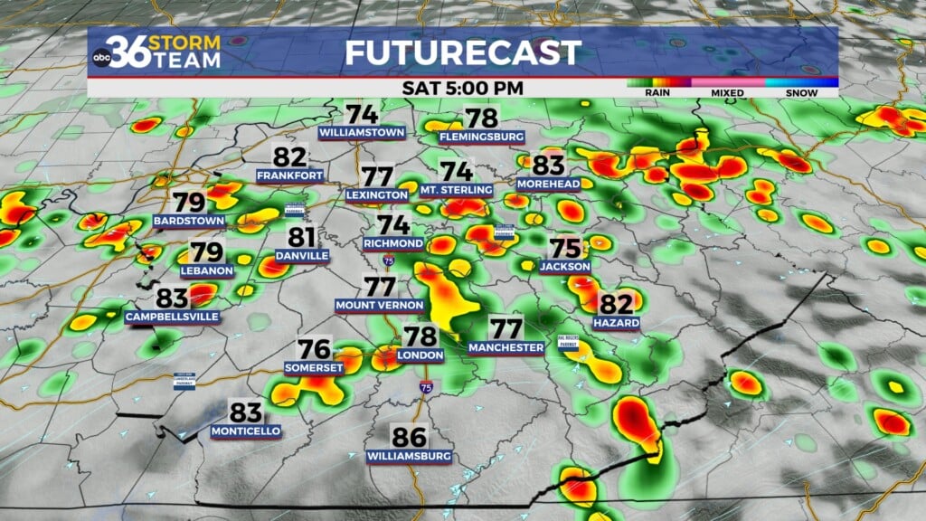
Expect more of the same for the upcoming weekend with more clouds than sunshine expected, especially for areas along and east of the I-75 corridor. What should keep the clouds around will be some upper level energy hanging to the west of a wave of low pressure riding northward along a stationary front through the Mid-Atlantic. This energy will be close enough to keep clouds in place and possibility producing a few isolated showers both Saturday and Sunday afternoons. It is one of those set-ups where the farther east you go in Kentucky, the better chance you’ll see a passing shower. Out to our west from Louisville and points westward, there should be more sunshine so a short distance will make a big difference. Highs will stay into the upper 70s both weekend days so it should be pretty comfortable for the mid-afternoon kickoff at Kroger Field Saturday with Kentucky and EKU kicking off at 3pm.


Looking ahead to next week, after a dry and warmer Monday another cold front will slide in Tuesday and Wednesday ushering in some scattered shower chances and bringing a return of more fall-like air. On Wednesday a few showers may linger behind the front with highs only in the low 70s, so that’s a sign that the fall season is slowly getting closer.

ABC 36 HOUR FORECAST
THURSDAY NIGHT: A few clouds and pleasant. Lows in the low to mid-60s.
FRIDAY: Partly sunny, mainly dry. Highs in the upper 70s.
FRIDAY NIGHT: Partly cloudy, still comfy. Lows in the low-60s.