Active weather pattern breaks with dry and quiet conditions on the horizon
The most noticeable difference will be the lack of humidity this weekend, which is unusual for late July
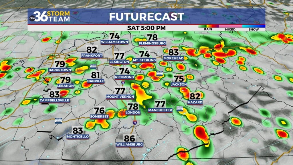
It was another muggy day across Central and Eastern Kentucky on Thursday with some mid-level debris clouds covering the area as another thunderstorm complex passed by just to our southwest. Despite the clouds, afternoon highs still reached the low 80s in most spots and it felt really muggy with dew-point temperatures in the low to mid-70s, giving a very tropical feel to the air. Storms fired during the mid and late afternoon across the area and with a cold front dropping through our area into the early hours of Friday, more storms will be possible although the data has struggled with timing and placement of the activity. Once the front drops to our south, we’ll be in good shape weather-wise Friday and beyond.

The big story in our weather is the much awaited break from the active and unsettled pattern that we’ve been dealing with lately here in the Ohio Valley. As high pressure builds into the region from the northwest, drier air will filter in allowing humidity levels to really back off. Under mostly sunny skies and a northwest wind, afternoon highs should reach the mid-80s Friday so it will be a great way to finish out the week. This sweet set-up will be a prelude of things of things to come for the weekend!

It’s the rare occasion over a late July weekend that we get not only below average temperatures but also comfortable humidity levels and the lack of muggy air. Fortunately our forecast for that is still holding serve with low to mid-80s, sunshine and comfortable conditions expected so make some outdoor plans and get out to enjoy this delightful stretch of weather.


Heading into next week, it will start feeling like the last part of July as high pressure gives way to the east and sets up shop over the Carolinas. This will allow a return flow to push both heat and a bit of moisture back into the Ohio Valley. While I’ll daily chances of thunderstorms will be isolated at best, more concerning will be some legitimate heat as afternoon highs run back into the low-90s by the middle part of next week.

ABC 36 HOUR FORECAST
THURSDAY NIGHT: Becoming partly cloudy and mild. Lows in the mid to upper 60s.
FRIDAY: Mostly sunny, less humid. Highs in the mid-80s.
FRIDAY NIGHT: Fair skies and pleasant. Lows in the low-60s.