50/50 weekend on tap as we start dry and end wet across Central and Eastern Kentucky
With much of the region under drought conditions, we could use additional rain and that should happen during the second half of the weekend
We’ve had a nice stretch of weather the last few days across Central and Eastern Kentucky and Friday was no exception. With abundant sunshine and a light east wind, afternoon highs overachieved and reached the upper 60s. We did have a few scattered high clouds in the area, which made for some beautiful sunrise photos early Friday morning.
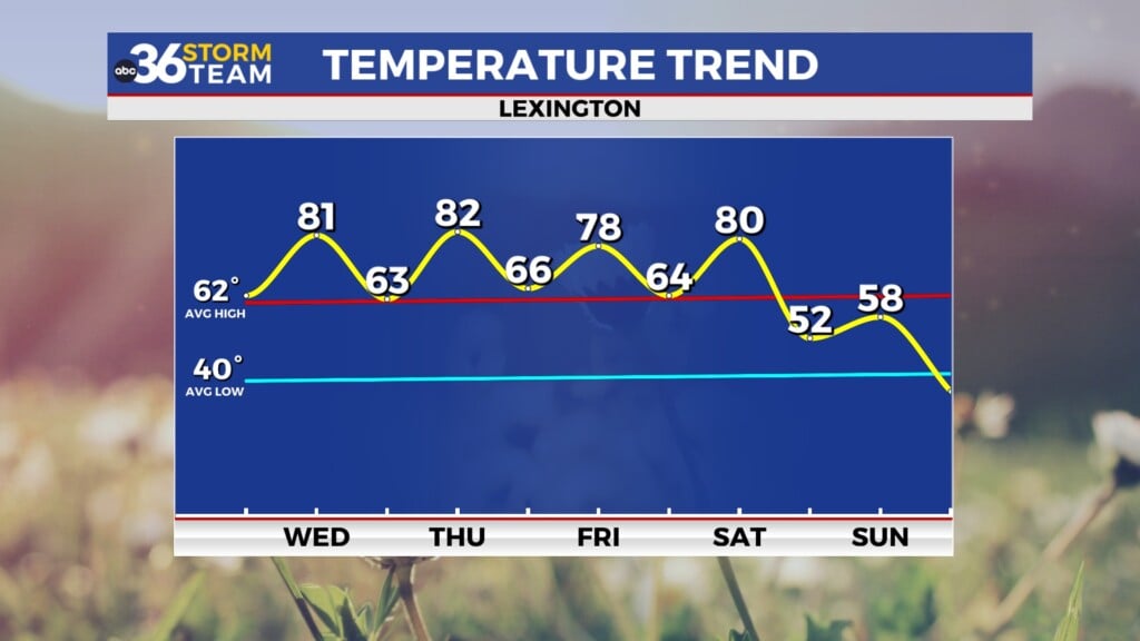
It should be a 50/50 weekend weather-wise across the area with a delightful Saturday on tap. With plenty of fall festivals and it being Halloween weekend you’ll want to get those outdoor activities in with mostly sunny skies expected and afternoon highs either side of the 70 degree mark.
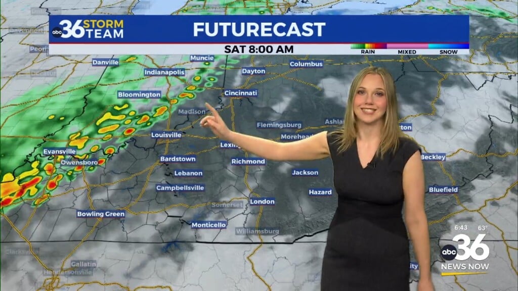
The well advertised area area of low pressure to our southwest will come spinning up through the Ohio Valley on Sunday, bringing some very beneficial rain so it looks pretty damp to close out the weekend. Even though these rains won’t be a “drought buster”, it should help us chip away at the rainfall deficit as we could see a widespread half inch to 1″ event.
The big caveat is whether the rain will be gone in time for trick or treating late on Monday. The data has been consistent with some re-enforcing energy lagging behind the main low so this would at least keep a few showers chances around through Monday. It doesn’t look like a wash-out by any means but have some type of rain gear in the event these showers hold during that critical window into Monday evening.
ABC 36 HOUR FORECAST
FRIDAY NIGHT: Mostly clear, still chilly. Lows in the low 40s.
SATURDAY: Mostly sunny and pleasant. Highs in the low-70s.
SATURDAY NIGHT: Clouds increase, showers return. Lows in the upper 40s.


