Watching a late week system for potentially a bit of snow
After a beautiful Valentine's Day across the region, a couple of waves of low pressure will impact our weather the rest of the week
It turned out to be a pretty “sweet” Valentine’s Day across Central and Eastern Kentucky as Mother Nature delivered with some really nice weather on Wednesday. The combination of sunshine and a southwest wind helped push afternoon highs into the low and mid-50s in most spots with our southern counties making a run at the 60 degree mark. With a mid-level wave sliding through Ohio Valley we saw a few morning clouds which made for some delightful sunrise shots to begin Valentine’s Day.


We are watching a couple of waves of low pressure that should impact our weather for the late week. the first one arrives on Thursday with breezy conditions, clouds and the possibility of a few passing showers. It appears the bulk of the moisture will stay off to our north so the rain will be spotty at best. Afternoon highs though will be unseasonably mild once again as a frontal boundary presses in with the breezy southwest wind ahead of it. Expect the mid-50s once again before we see some additional changes into Friday.

The second wave will approach from the west into the Friday and this one bears watching here in the commonwealth. With the track of the low trending farther south, it should be a case of where we start out as rain and then change over to snow Friday evening and into Friday night. Highs will be in the mid-40s before taking a tumble as the low gets east of our area. At this point there is the potential of laying some light snow on the ground into Saturday morning but just remember the track of the low is critical for precipitation type. A more southerly track favors an earlier change to snow while a more northly track keeps things all rain longer.

Below is a look at the 2 major models along with our in house higher resolution data. The majors have some snow in here Friday evening (as various intensities) while the high res run actually keeps things mainly rain. So this is a perfect illustration of why these forecasts can be “tricky” and challenging at best. We’ll keep a close watch on it.


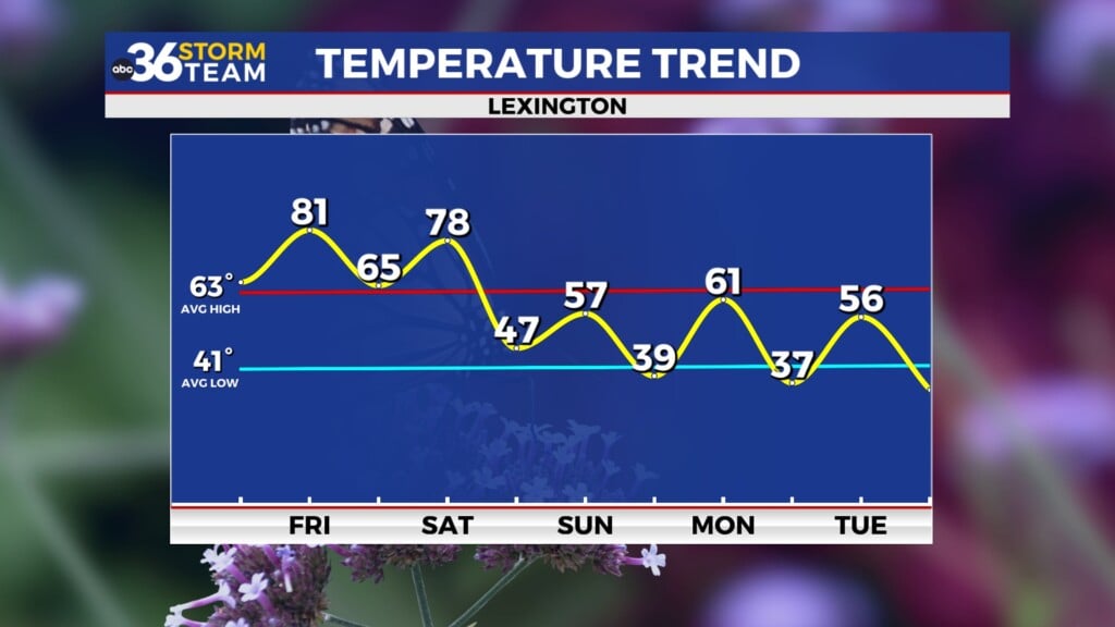
After a cold start to the weekend with highs low to mid-30s we’ll warm up nice by Presidents’ Day with dry and milder conditions as highs rebound into the low-50s. We could be in store for yet another unseasonably mild stretch next week with temperatures climbing through the 50s.
ABC 36 HOUR FORECAST
WEDNESDAY NIGHT: Mostly clear and chilly. Lows in the upper-30s.
THURSDAY: Partly sunny and breezy, a passing shower. Highs in the mid-50s.
THURSDAY NIGHT: A few clouds, breezy and cold. Lows in the low-30s.


