Warm, Wet & Windy
Warm and Windy Saturday. Warm, Wet and Windy Sunday
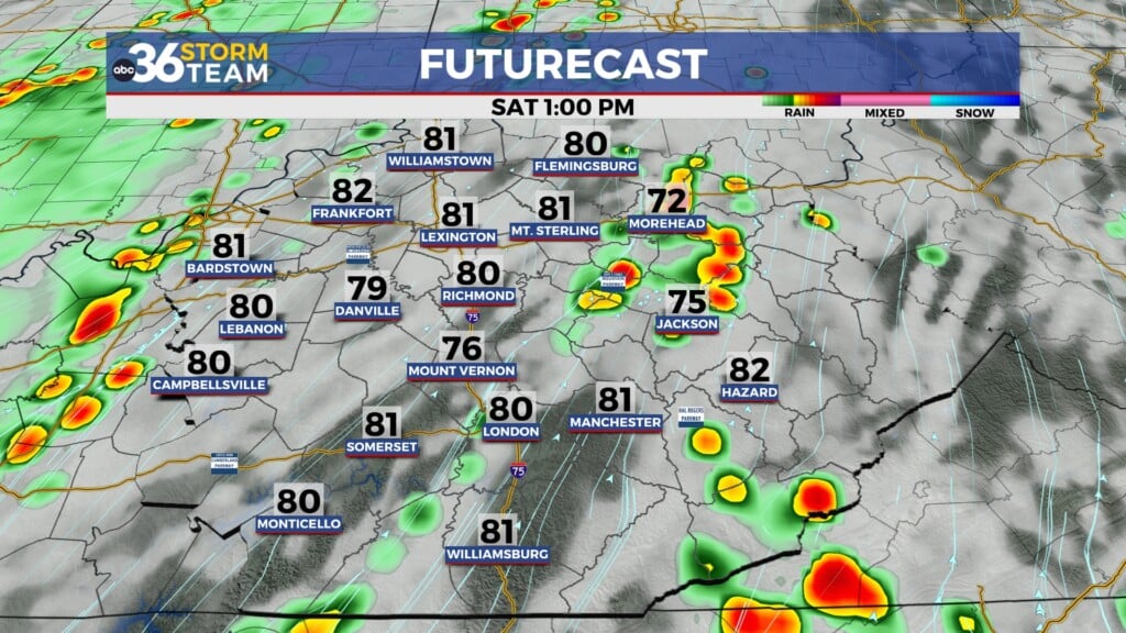
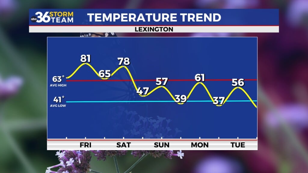
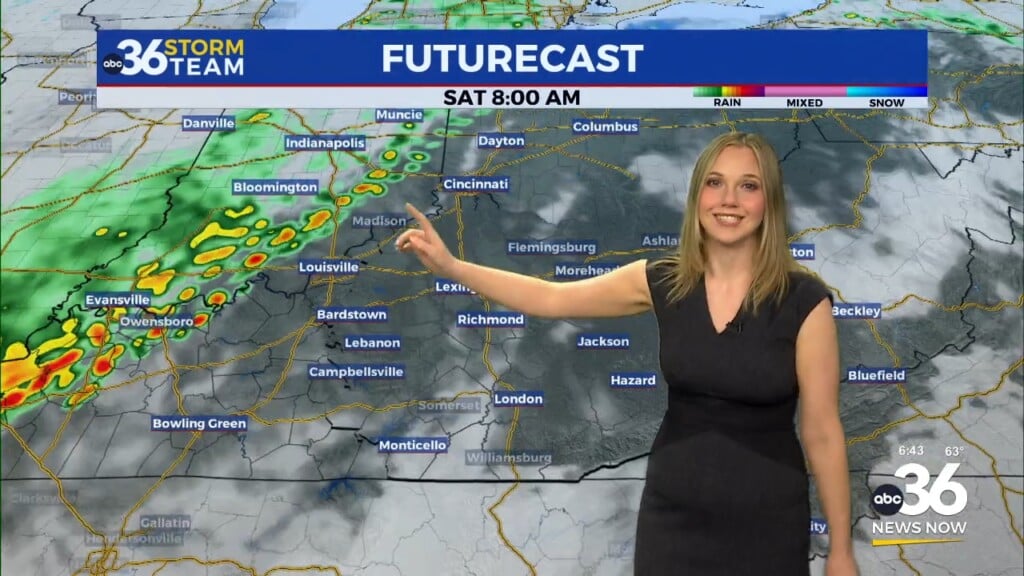
Clouds will keep us mild tonight. We will warm quickly Saturday as the south winds kick and the skies clear. We finish out the weekend wet and warm. We expect to stay wet until late Monday night.
Tonight: Cloudy and a mild low of 47. winds will veer ENE to south at 5-10 mph.
Saturday: Becoming mostly sunny. A high around 76. South winds 10-20 gusting to near 35 mph.
Sunday: Showers and possibly thunderstorms. a high of 70. Rain chance 80%.
Monday: Showers and possibly thunderstorms. A high of 67
Monday night: rain will end late.
Tuesday: Cooler behind the stronger front. A high of 48.
Wednesday: Partly cloudy/ mostly sunny and a high of 53
Thursday: mostly cloudy with a 40% chance of rain. a high of 58
Friday: Partly sunny and a 40% chance of showers. A high of 62
Saturday: Sunny but cold. 40s.
*Today in weather history
Lexington hit a record high of 81 in 1976. 1964 on this date, 3.54″ of rain. In 1917, Lexington had 9.2″ of snow. The London-Corbin Airport had record cold 3/4-3/8/1960.


Leave a Reply