Warming up into Thursday with a few showers possible in spots both Oaks and into Derby Day
Scattered rain showers are on the table late Friday and into early Saturday, but the trend is for mainly Western and Southern Kentucky
The upper level low that plagued much of the Ohio Valley to kick off the month of May finally started to pull out of the region on Wednesday so we enjoyed a mix of clouds and sunshine (after a sunny start), although temperatures were held in check thanks to a brisk northwest wind. Highs reached the low 60s here in the Bluegrass with upper 50s in the east. This upward trend will continue into the late week and for Oaks and into Derby Day.
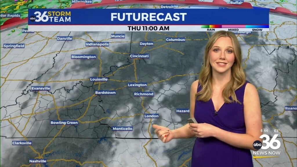
With high pressure building into the region we should enjoy a delightful Thursday despite a chilly start to the day. Temperatures will begin the day in the upper 30s before surging all the way into the upper 60s with plenty of sunshine before a few scattered clouds develop through the afternoon. It should be a glorious day for “Thurby” if you are heading over to Churchill Downs.
Of course all eyes will be focused down I-64 to Louisville and Churchill Downs both Friday/Saturday for the Kentucky Oaks/Kentucky Derby and how the weather may play out. While a frontal boundary and an area of low pressure are expected to be very close to the area, much of the data is now keeping the bulk of the rain chances across Western and Southern Kentucky both Friday and Saturday. This would be an ideal set-up but any adjustment in the track and position of the rainfall could really shake things up. Back in 2018 it appeared the bulk of the rain would stay just south of Louisville then shift about 50 miles north, resulting in an all day rain and the wettest Derby Day on record with more than 3″ of rain. The point is things can and do change but hopefully we can get through those could of days without any issues.
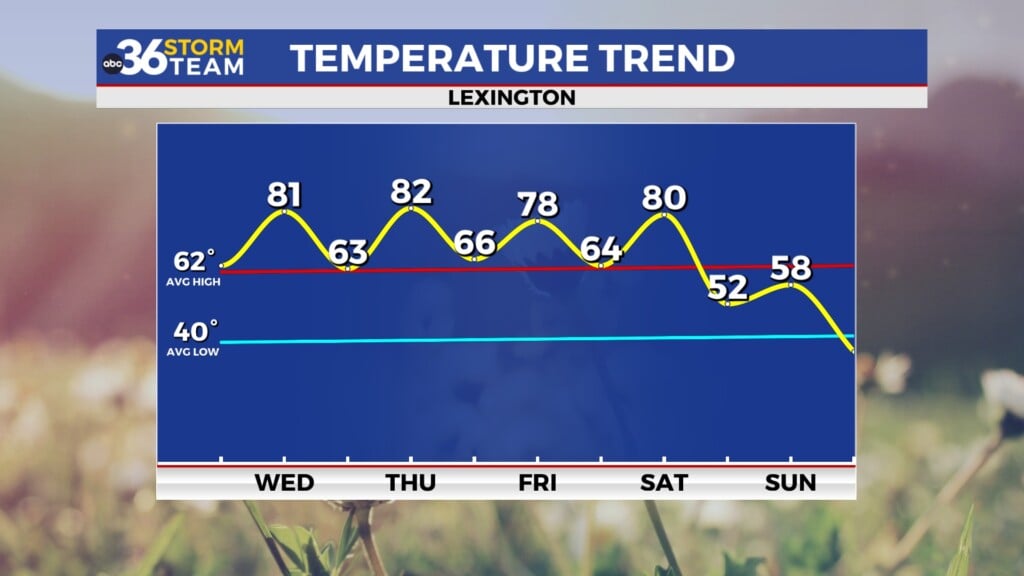
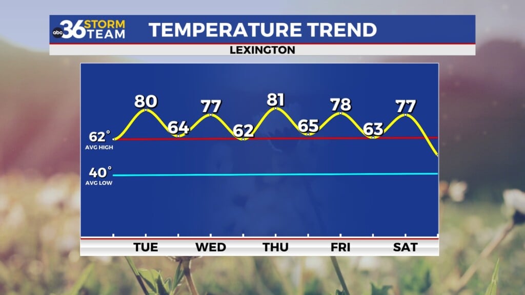
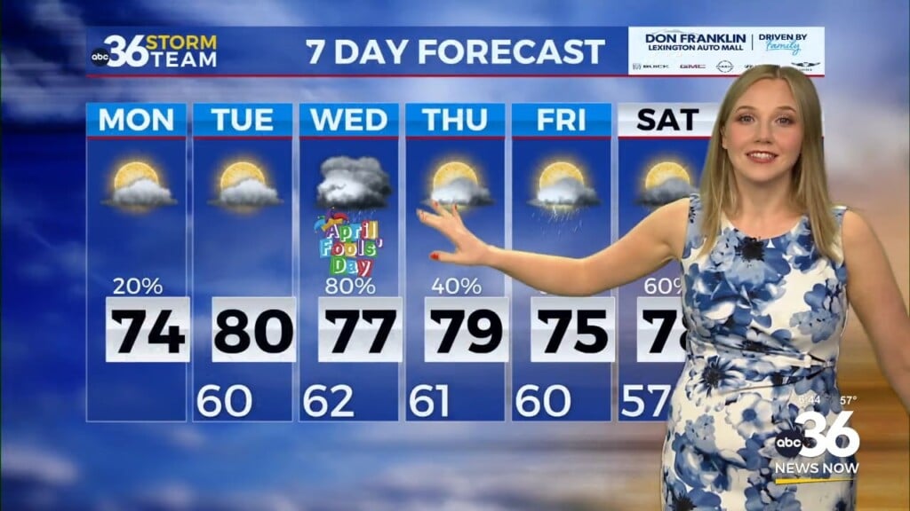
The focus shifts to much anticipated and much needed summer like air that should return to Central and Eastern Kentucky into early next week. With a warm front arcing through the area, warm and somewhat muggy air will be back in place so expect afternoon highs in the upper 70s and low 80s. With the humidity climbing a bit and the frontal boundary close by, a few scattered storms will be possible mainly during the afternoons into the middle of next week.
ABC 36 HOUR FORECAST
WEDNESDAY NIGHT: Mostly clear and chilly. Lows in the upper 30s.
THURSDAY: Mostly sunny and milder. Highs in the upper 60s.
THURSDAY NIGHT: A few clouds, still cool. Lows in the mid-40s.


