Warm and dry as we close out the summer season officially Friday
Temperatures should reach the low 80s to end the week before backing off a few degrees this weekend
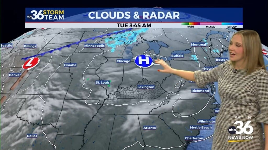
We’ve enjoyed a wonderful week of weather across Central and Eastern Kentucky and Thursday was no exception. The only blemish was a few more scattered clouds around the area thanks to a weak upper level system washing out over the Ohio Valley. Of course the air was too dry at the surface for any rain showers to develop. Despite the clouds, afternoon highs manage to run back into the upper 70s and low 80s across the board and we could see an even warmer day on Friday as we close out the summer season.

Expect a little more in the way of sunshine on Friday as what is left of the upper level energy fades away. After starting the day very pleasant with temperatures in the upper 50s, afternoon highs should surge into the low and mid-80s, even with a bit of an east wind in place. It should be another great evening for high school football across the region with temperatures dropping into the 70s with low humidity levels.


The fall equinox occurs at 2:50am Eastern time on Saturday morning ushering in the official start of autumn. We are going to be in the prime spot this weekend with a coastal low to our east (which may become a tropical storm before making landfall in North Carolina early Saturday morning) and a storm system in the Central Plains that won’t make much progress eastward. With the tropical system to our east, we’ll see a breezy east to northeast wind much of the weekend which will hold our afternoon highs into the upper 70s to around 80 degrees despite plenty of sunshine. The bottom line is we’ve got some additional nice weather on the way this weekend, which is fantastic given all the fall festivals that are really cranking up across the region.

The model data continues to trend slower and drier into early next week with the storm system out in the Central Plains moving eastward at a snails pace. This will keep us dry for an additional few days next week but temperatures will stay pleasant as the east to northeast wind stays in place. Afternoon highs should top out in the upper 70s daily before we do finally work a few isolated showers back into the area by next Wednesday.

ABC 36 HOUR FORECAST
THURSDAY NIGHT: A few clouds and pleasant. Lows in the upper-50s.
FRIDAY: Mostly sunny and warm. Highs in the upper 70s and low-80s.
FRIDAY NIGHT: Mostly clear and quiet. Lows in the mid-50s.