Warm air sticks Friday as storm chances increase
A wave of low pressure and a frontal boundary will bring wet weather, the cooler temperatures this weekend.
It was another fantastic spring day that felt more like summer across Central and Eastern Kentucky Thursday thanks to some filtered sunshine along with a southwest wind, which helped drive temperatures to near record highs into the low to mid-80s. The only downside of the unseasonably warm air was the accompanying wind helped to create dry conditions at the surface, which hampered efforts to control the on-going forest fire situation near Natural Bridge State Resort Park in Eastern Powell County. Hopefully Mother Nature will provide a little relief late Friday and into Friday night.
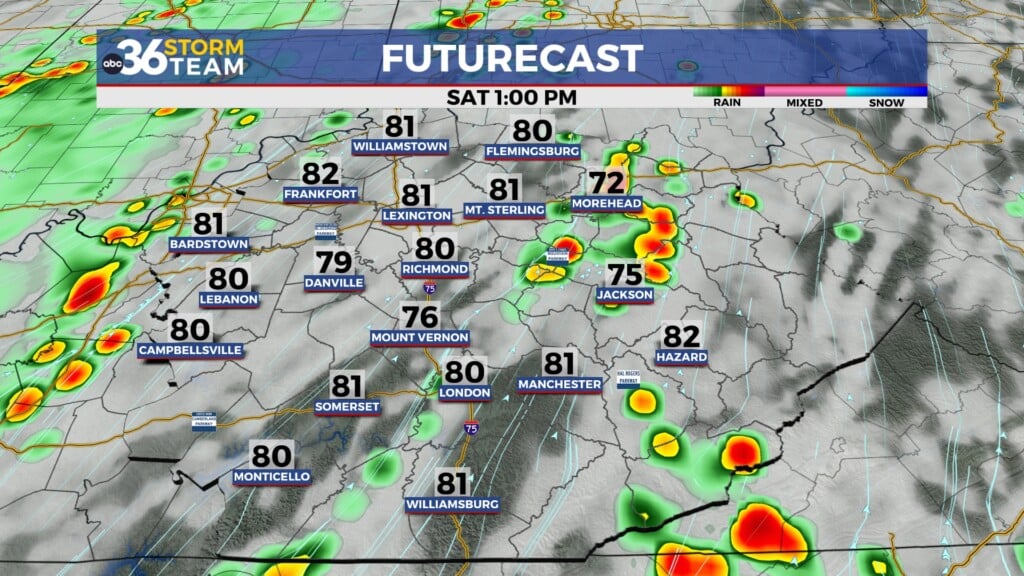
A frontal boundary will approach from the west on Friday but it appears we are looking at a later arrival so thunderstorms may not pop until we get fairly deep into the afternoon. As a result, temperatures may overachieve with highs in the mid to upper 70s here in the Bluegrass, with some locations around 80 degrees in the southeastern mountains. After the initial round of storms, more widespread rain is expected Friday night and into early Saturday as the main surface low spins through the commonwealth. Temperatures will definitely be cooler on Saturday with highs around 60 degrees with a few lingering showers and/or drizzle hanging around for a bit.
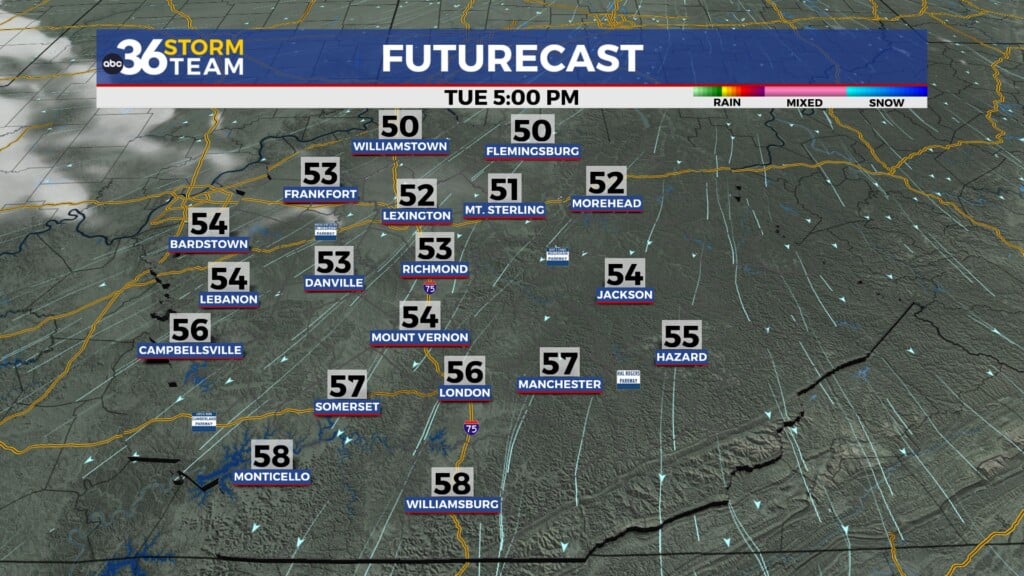
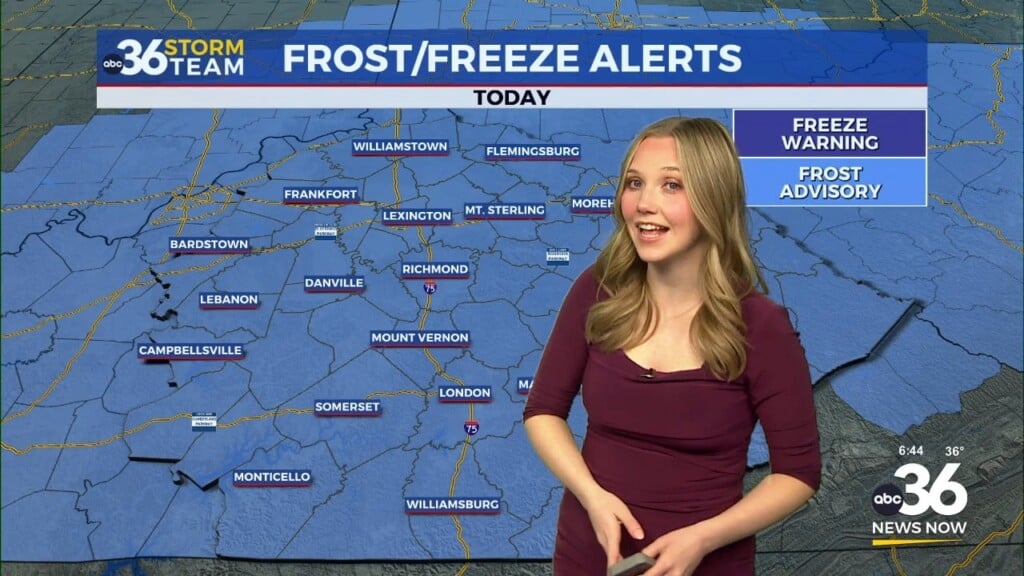
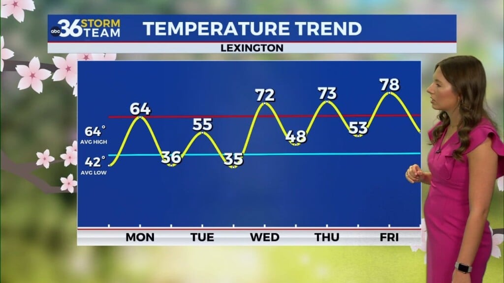
The coolest air will settle in to close out the weekend on Sunday with afternoon highs struggling into the low to mid-50s. Cool high pressure to the west will settle into the Ohio Valley by Sunday so we are looking at optimal radiational cooling conditions with clear skies and light winds. This will allow early morning lows to dip into the low 30s so expect a widespread frost at this point to kick off next week. Plan on covering those plants or bringing them in with the growing season in full swing.
Conditions should be dry and pleasant early next week with afternoon highs creeping back into the mid-60s by the mid-week. At this point the model data isn’t synced up with the positioning of a system moving through Wednesday. The trending has been for a farther southward track, which would keep the best rain chances across Southern Kentucky before another wave of low pressure brings additional rain chances late next week.
ABC 36 HOUR FORECAST
THURSDAY NIGHT: A few clouds and mild. Lows in the low-60s.
FRIDAY: Breezy and warm, afternoon storms. Highs in the upper 70s and low 80s.
FRIDAY NIGHT: Breezy with rain, some thunder. Lows in the upper-40s.


