Unsettled weather into Mother’s Day weekend
While it shouldn't be a wash-out the next few days, we could see some stronger storms late Sunday
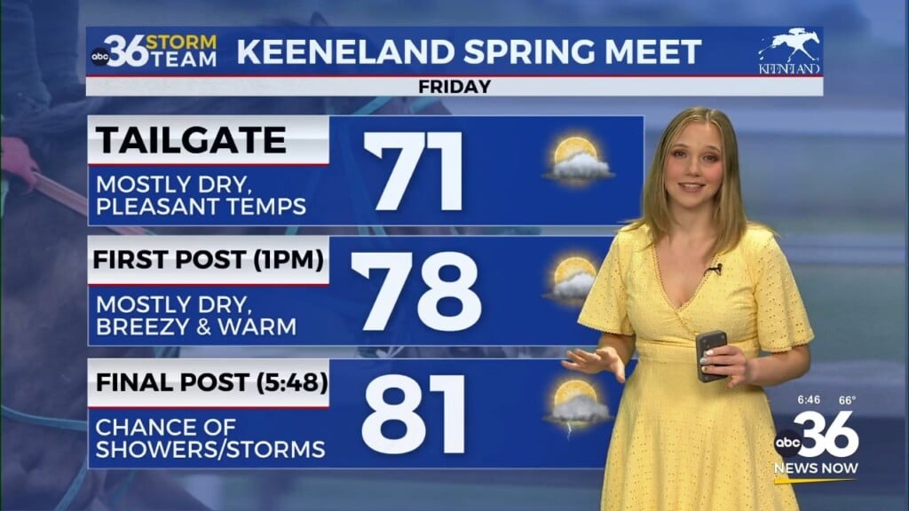
It was a warm and muggy finish to the week across Central and Eastern Kentucky Friday. With a wave of low pressure cruising through the region, a few scattered showers and storms ramped up with the warmth of the afternoon as highs reached the upper 70s in most locations. Even though it ended up being a bit wet later in the day, we did start out mostly dry and mild so it was a quiet start to Friday.
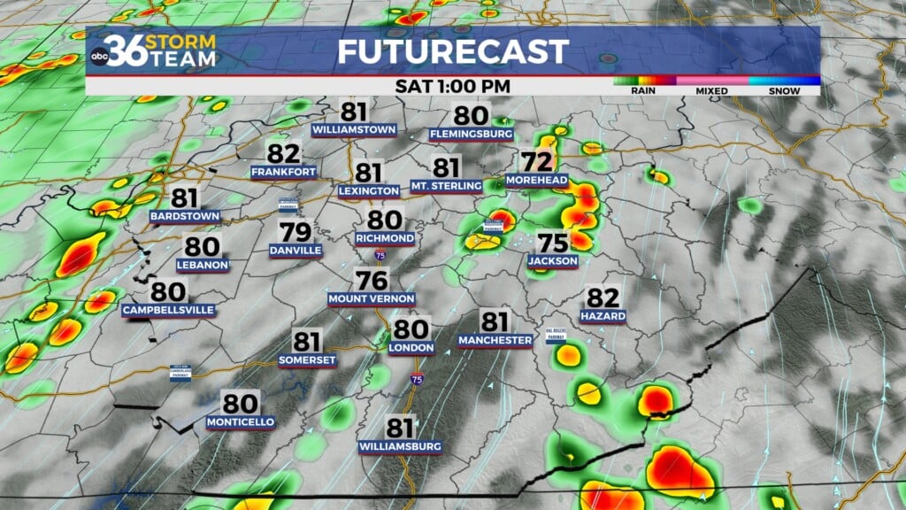
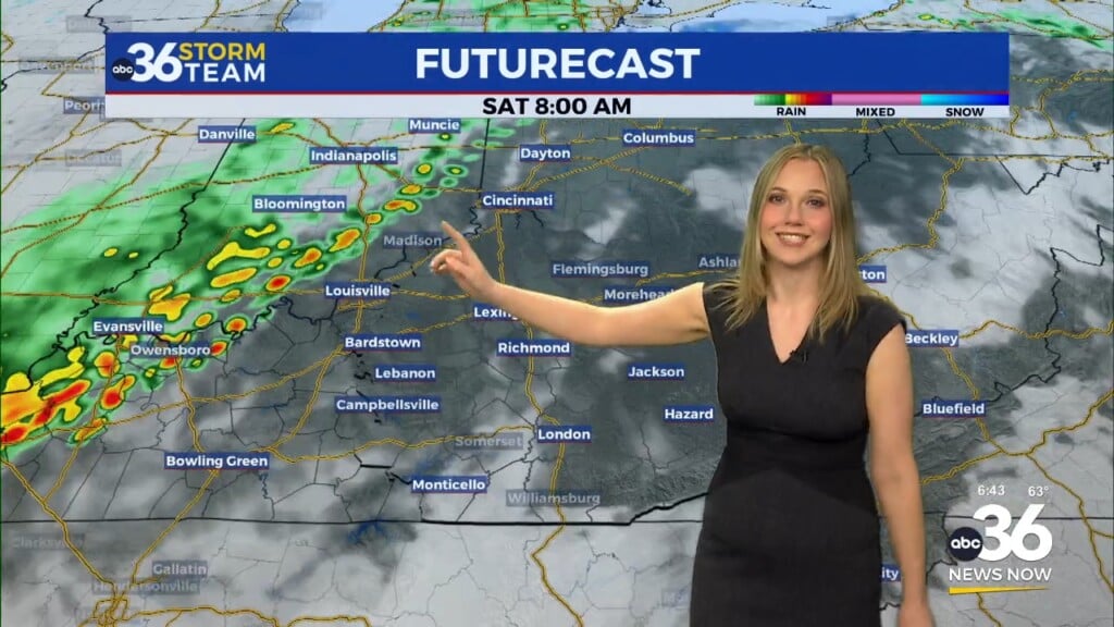
With the commonwealth firmly in the warm and humid air mass and additional waves of energy helping to enhance the thunderstorm development, we’ll be dodging showers and storms into Saturday. It may end up being a repeat of Friday with mainly dry conditions to start before the activity cranks up as the day progresses. It shouldn’t be an all-day rain but just take the rain gear along if you have any outdoor plans for Saturday…or Mother’s Day for that matter. Afternoon highs should reach the upper 70s and low 80s, although it could be tricky in a few spots since clouds and rain could hold temperatures down if the storms develop earlier than anticipated.
Heading into Mother’s Day, the frontal boundary to our north will drop south of Kentucky but the thunderstorm chances won’t be over just yet. While I think much of the day may end up being dry, a wave of low pressure to our northwest will slide in and right of the nose of it a complex of thunderstorms or a squall line of storms could develop. The timing looks to be probably into Sunday evening and the strong/severe storm threat is on the table. The Storm Prediction Center has much of Central Kentucky in a Level 2 risk ( out of 5) with a Level 1 risk across Southern and Southeastern Kentucky. Generally with this kind of set-up, damaging winds and hail are the primary threats so just keep an eye on the weather late on Mother’s Day.
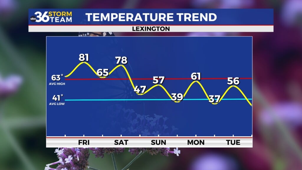
After a few lingering showers on Monday morning, expect much improved conditions into next week. Humidity levels will drop so it should be comfortable across the board. The only minor bump in the road will be a dry cold front that should move through Wednesday. This will produce a few scattered clouds and bring a re-enforcing shot of milder air, thus keeping afternoon highs into the mid-70s before temperatures warm up ahead of a cold front late in the week!
ABC 36 HOUR FORECAST
FRIDAY NIGHT: Mild with isolated storms. Lows in the mid to upper-60s.
SATURDAY: Warm with scattered storms. Highs in the upper 70s and low-80s.
SATURDAY NIGHT: Muggy with isolated storms. Lows in the low-60s.


