Unsettled weather continues as we officially kick off the summer season
The cut-off low to our south will keep scattered rain and storms around in the coming days
It was a mostly cloudy and muggy final day of spring across Central and Eastern Kentucky on Tuesday thanks to a cut-off area of low pressure spinning to our south. With plenty of moisture available and a few breaks in the clouds providing some sunshine and instability, scattered showers and storms ramped up in spots through the afternoon hours. The activity moved sort of “against the grain” from east to west given the position and flow around the low. Afternoon highs varied depending on where the rain feel with a few locations topping 80 degrees while much of the area stayed in the 70s. This pattern will hang should hang on through the mid and late week.
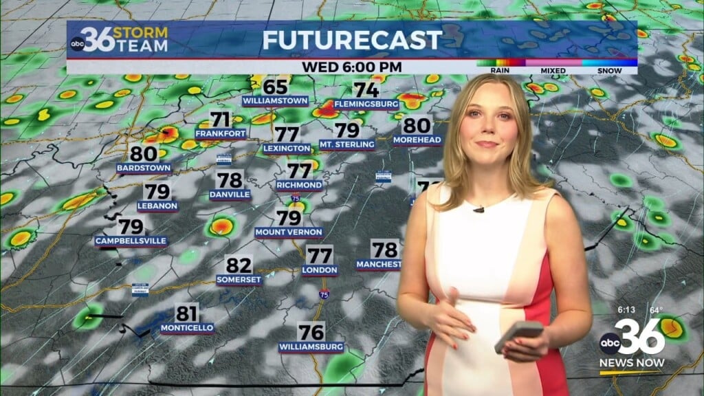
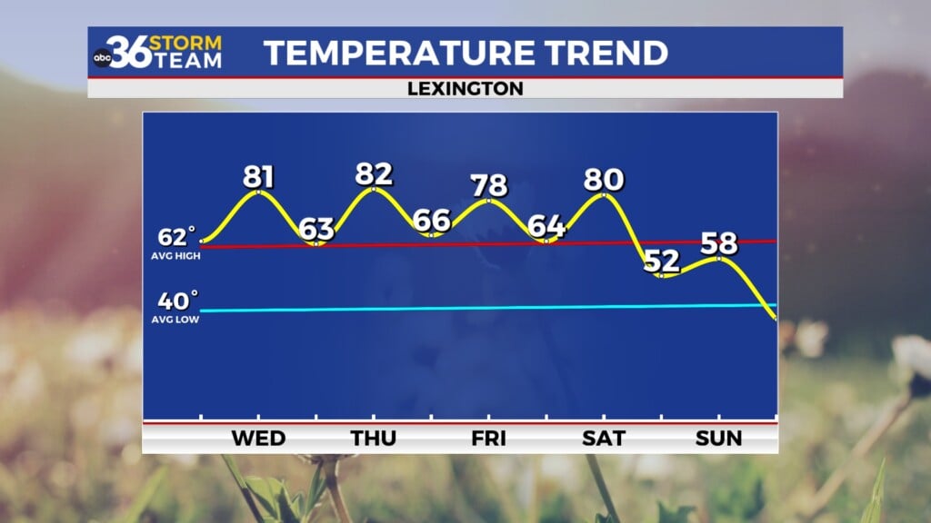
The Summer Solstice occurs at 10:50am on Wednesday morning signaling the “official” start of the summer season but our temperatures should stay below average for this time in June thanks to the clouds, a breezy east wind and additional showers and storms firing up as the cut-off low stays to our south. Keep in mind we could have a wide range of temperatures depending on where it rains and any showers/storms have the potential of producing some localized heavy downpours. Highs may be tricky again with 70s expected although a few spots could overachieve. Despite the unsettled weather, Wednesday with have the most daylight of the year with nearly 15 hours so enjoy that.
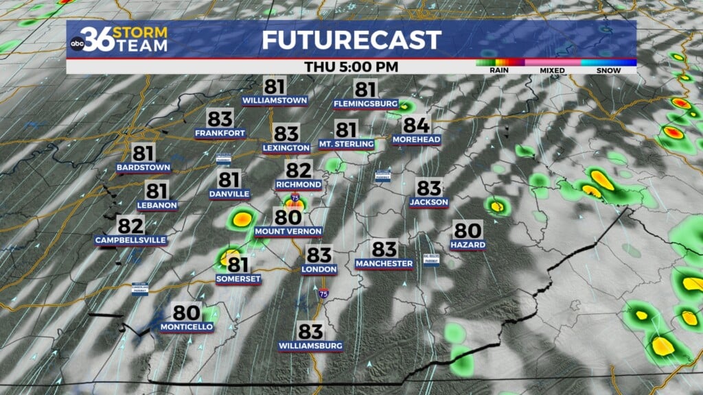
Heading into the late week the pesky low to our south will actually jog back to the north thanks to high pressure over New England drifting to the east. This will allow to drift back over Kentucky by Friday, thus keeping our on-going chances for showers and occasional thunderstorms in play. Yet again temperatures will be held in check for afternoon highs with readings holding into the mid-70s. It does look like a trough digging into the Upper Midwest will kick the low east of the area into the weekend so we should be able to squeeze in some drier air, which will allow afternoon highs to climb back into the mid to upper 80s!
ABC 36 HOUR FORECAST
TUESDAY NIGHT: Mostly cloudy with a few showers. Lows in the upper-60s.
WEDNESDAY: Breezy with occasional rain and storms. Highs in the mid to upper-70s.
WEDNESDAY NIGHT: More showers, still breezy. Lows in the mid-60s.


