Unseasonably warm temperatures crank up into the mid-week
A stray shower/storm can't be ruled out the next few days but most locations should be dry with highs in the 70s
It was another delightful day on Tuesday across Central and Eastern Kentucky with plenty of sunshine, a few high, thin cirrus clouds and a southwest wind pushing afternoon highs into the mid and upper 60s, a good solid 10 to 15 degrees above average for this time in March. Hopefully you’ve had a chance to get out and enjoy it and luckily we have a few more mild to warm days on tap. While it was a cool start to the day, it wasn’t as cold as recent mornings, which gave us a jump start on the nice warm-up we enjoyed.

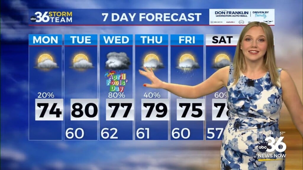
Heading into Wednesday, an upper level system will slide by just to our northwest and much of the data is showing a weakening area of showers and storms to our west in the morning. Keep in mind that the air is very dry at the surface so it would take some effort to get any showers going. However there may be enough of a trigger for a few isolated showers (or a storm) to pop up Wednesday afternoon and our in-house model is rather aggressive with the coverage of the activity so keep in mid that it may be a little overdone. Otherwise we are looking at a partly sunny day with afternoon highs running around 70 degrees so we are still looking good heading into the mid-week.


By Thursday a warm front will arc through the Ohio Valley early, helping to bring additional warm air into the region so this should be our best day temperature-wise as afternoon highs surge into the low to mid-70s, which is nearly 20 degrees above where we should be for mid-March. A few isolated to scattered storms can’t be ruled out, especially early in the morning but the bulk of the activity should remain to our north closer to the boundary.


A frontal system will slide into the region on Friday setting us up for a wet and stormy finish to the work week. With the clouds and rain/storms around and the front passing through relatively early in the afternoon, temperatures should be about 10 degrees cooler Friday with readings topping out into low to mid-60s. At this point organized strong to severe storms aren’t expected but this time of the year we always have to keep an eye on things. The weekend looks a bit cloudy especially on Saturday as highs reach either side of the 60 degree mark. We’ve been tracking a southern system that could bring a few showers on St. Patrick’s Day Sunday but it now looks like Southern Kentucky may be the favored area for any rainfall.


A secondary cold front will roll through Sunday night ushering in another legitimate shot of cold air ironically for the final full day of winter officially as the spring season arrives late on Tuesday evening. With a northwest flow and some energy over the Great Lakes we could see a few chilly rain showers with even a few snowflakes mixed in. While it shouldn’t be a big deal, it’s just a little parting shot from Mother Nature as the winter season ends. Afternoon highs will struggle to reach the low 40s for highs with early morning lows dipping down into the upper 20s and low 30s into early next week.

ABC 36 HOUR FORECAST
TUESDAY NIGHT: Scattered clouds, not as cool. Lows in the mid-40s.
WEDNESDAY: Partly sunny and warm, an isolated shower possible. Highs in the upper-60s to around 70 degrees.
WEDNESDAY NIGHT: Mild with isolated storms. Lows in the low-50s.


