Unseasonably mild weather sticks around for Valentine’s Day and beyond
Afternoon highs will stay well above average through Thursday with a few strong storms on the table late week.
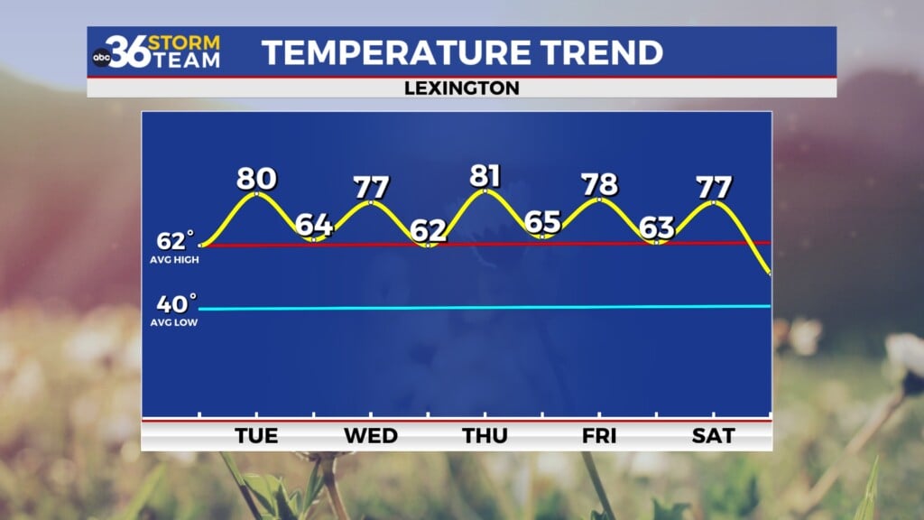
It definitely didn’t look and feel like the day before Valentine’s Day across Central and Eastern Kentucky on Monday. After a few scattered clouds during the morning hours, we enjoyed full sunshine thanks to high pressure to the southeast which pushed afternoon highs into the low-60s!
The unseasonably mild stretch of weather will continue for Valentine’s Day and beyond as a series of storm systems work through the Ohio Valley. The first wave will produce some mid to high level cloudiness as the day progressed on Tuesday but a breezy southeast wind should counteract the clouds so afternoon highs should run into the low 60s once again. The shower chances look to be confined to the evening and overnight hours as temperatures remain steady or even climb a bit toward the 60 degree mark Wednesday morning.
Once again wind will be an issue Tuesday night and into Wednesday morning. With the low spinning by to our northwest, strong southwest winds of 20 to 30 miles per hour with gusts 45+ miles per hour will be possible from the Bluegrass region westward so secure any loose items and expect to hear the windows rattling a bit during the overnight hours with a Wind Advisory in place from 7pm Tuesday until 7am Wednesday.
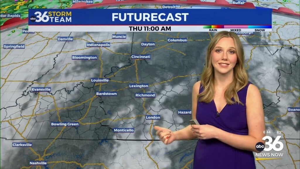
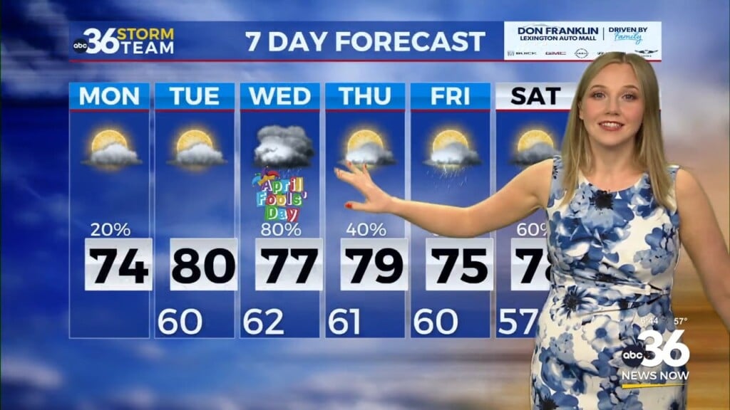
With temperatures start out mild Wednesday and winds still strong, we should easily reach the low 70s for highs with dry conditions expected so it should be a very spring-like mid-week! A stronger wave of low pressure and a cold front will move through into Thursday so expected a better chance for rain and storms, plus the chances for strong storms are still on the table. The Storm Prediction Center has much the region highlighted for “possible” strong storms Late Wednesday night and into Thursday. Most of the dynamics are in place but the key missing piece is the lack of instability or storm energy in the atmosphere during that time frame but that could easily change so we’ll continue to monitor that. Expect a brief shot of cold air Friday before things improve this weekend.
ABC 36 HOUR FORECAST
MONDAY NIGHT: Mostly clear and chilly. Lows in the upper 30s.
TUESDAY: Breezy and mild, clouds increase. Highs in the low-60s.
TUESDAY NIGHT: Windy with showers, steady to rising temps. Lows in the mid to upper-50s.


