The heat breaks but storm chances pick up to kick off the holiday weekend
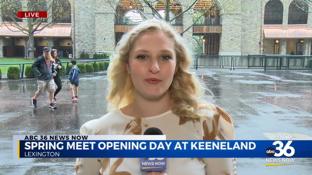
Scattered rain and storms will be possible for game day as Kentucky kicks off the 2024 season at home
It’s been a very hot week across Central and Eastern Kentucky even by late August standards and Friday was no exception. In fact we saw a record setting day once again as afternoon highs surged into the mid to upper 90s across the board. We set a new daily high temperature record here in Lexington for August with 98 degrees the official high, besting the old record of 97 set back in 1953. Humidity levels were higher than the last few days so that put heat index values over 100 degrees for many locations during the heart of the afternoon. Just like Thursday, thunderstorms fired during the afternoon hours with heavy rain, lots of lightning and even some small hail. These storms will be a prelude of things to come as we kick off the Labor Day holiday weekend.

The good news is that a break from the very hot temperatures is on the way for the holiday weekend but it will come at the cost of an increase in our shower and thunderstorm chances for Saturday. A cold front will press in from the west so look for occasional rain and storms throughout the day as afternoon highs only top out in the mid-80s. Of course Kentucky’s 2024 football season kicks off Saturday night at Kroger field so this will include an afternoon full of folks tailgating as well. If you have any outdoor plans, football or otherwise you definitely want to prepare for rain and storms whatever you are doing. Just remember that given the environment in place, any cells that develop most likely will contain some lightning so you definitely want to have a safe place to go in the event of lightning strikes in your area. Make sure to download the new ABC 36 weather app through the App Store or Google Play as one of the neat features is that it will alert you to lightning within 15 miles of your location so that will really come in handy into the weekend.


The main surface cold front will slide to the south on Sunday with just a few lingering showers possible and highs in the mid-80s. A secondary frontal system will drop through on Sunday night essentially sweeping all the warm and humidity out of the commonwealth. The timing will be perfect given that Monday is Labor Day so it will be a nice finish to the holiday weekend and a good payoff for all the heat we’ve dealt with lately. Expect sunshine, comfortable humidity levels and nice temperatures with highs Monday in the low 80s. The tranquil conditions continue on Tuesday with low 80s for highs before we see a gradual warm-up and a better chance for a few storms late next week. Have a safe and Happy Labor Day weekend!


ABC 36 HOUR FORECAST
FRIDAY NIGHT: Warm and muggy with isolated storms. Lows in the upper-60s and low-70s.
SATURDAY: Scattered rain and storms. Highs in the mid-80s.
SATURDAY NIGHT: More showers and storms. Lows in the upper-60s.