Temperatures trend upward as spring officially arrives
After a few frosty morning and chill days to close out winter, a milder and more active weather pattern will kick in this week
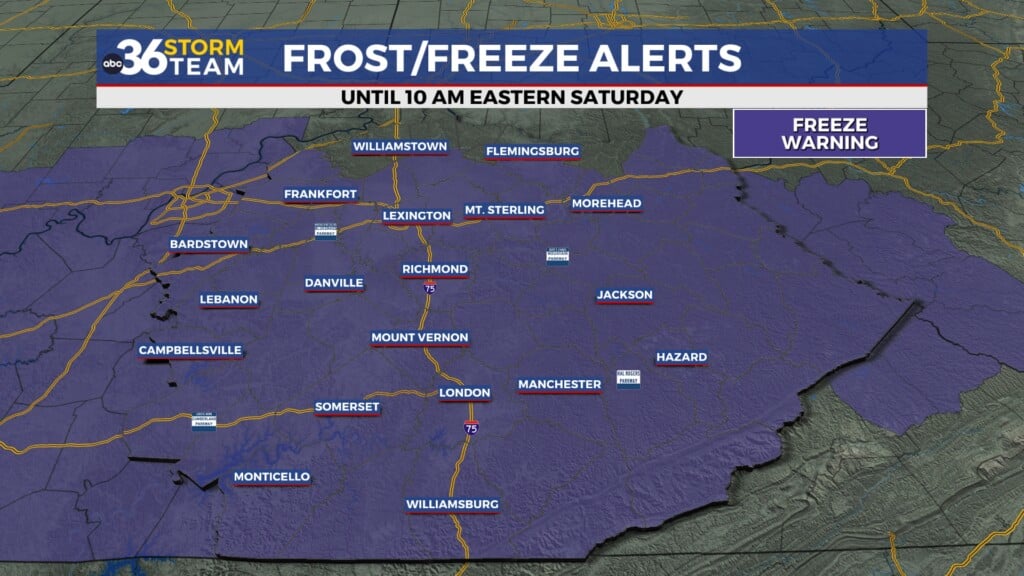
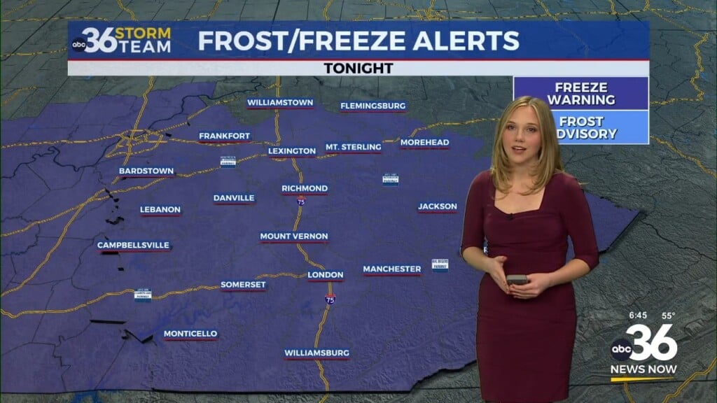
Winter didn’t go down without a fight across Central and Eastern Kentucky here in 2023 with several chilly days and frosty mornings to close out the season. It turned out to be a beautiful Monday with full sunshine and afternoon highs recovering into the upper 40s in most spots, which was quite an accomplishment considering a few spots dipped into the low teens to start the morning. This created some frosty on some of the flowers and plants that have already bloomed due to the unseasonably mild winter overall.
Spring officially arrived late on Monday afternoon and right on cue temperatures are going to begin to recover nicely. As the area of high pressure drifts to the east on Tuesday, a south wind and some filtered sunshine will help push afternoon highs back into the upper 50s, which is right around average for this time of the year.
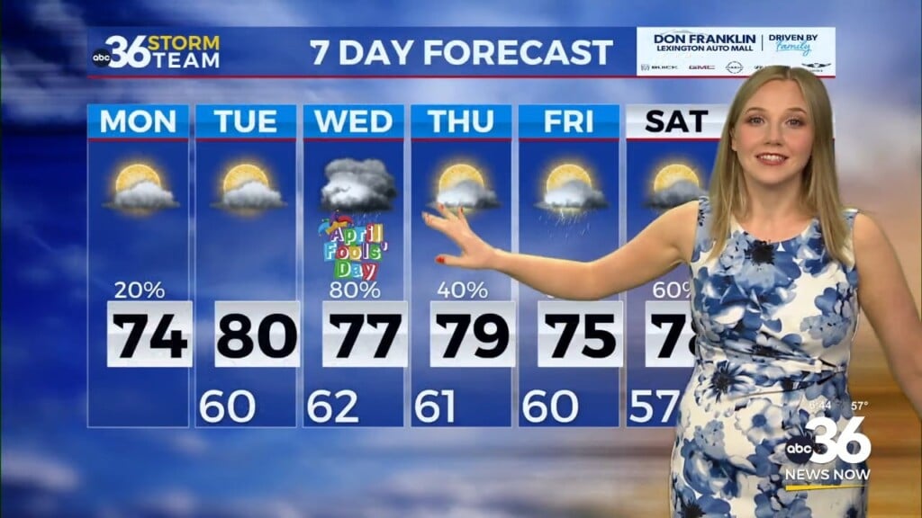
The mid-week looks damp as moisture rides up and over a warm front sitting off to our southwest on Wednesday. This will make for a wet and dreary mid-week with afternoon highs into the mid-50s. The warm front will slide through Wednesday evening so temperatures will actually rise into early Thursday with readings into the low 60s at daybreak. This will set us up for a warm and breezy Thursday with afternoon highs in the mid-70s and mainly dry conditions as a cold front sits just off to our northwest.
As a wave of low pressure rides along that boundary and drags it southward on Friday, our chances for heavy rain/flooding and even a few strong storms will ramp up. With the upper level flow running parallel to the boundary, we may see some “training” of the heavy rain over the same areas so wherever this heavier rain sets up could see 2″-4″ rainfall totals. The severe threat seems to be a bit lower now based on the latest data but it isn’t completely off the table so that bares watching as the week wears on. However the heavy rain/flood threat is of legitimate concern so we’ll continue to track that. Showers linger into Saturday before a brief break in between systems Sunday.
ABC 36 HOUR FORECAST
MONDAY NIGHT: A few clouds and cold. Lows in the upper 20s to low-30s.
TUESDAY: Mainly sunny and milder. Highs in the upper-50s.
TUESDAY NIGHT: Breezy with rain returning. Lows in the low-40s.


