Summer-like Weekend gives way to Much Cooler Week Ahead..
What a weekend! Summer-like warmth invaded the region Saturday as temps surged into the 80’s for the first time this season. In fact, the high of 84 in Lexington was only two degrees shy of a record that dates back almost 100 years.
The good news is that if you appreciated Saturday’s warmth, you’ll like Sunday too as the region will remain firmly located within the “warm sector” of our next storm system with highs again expected to reach into the 80’s. Enjoy.
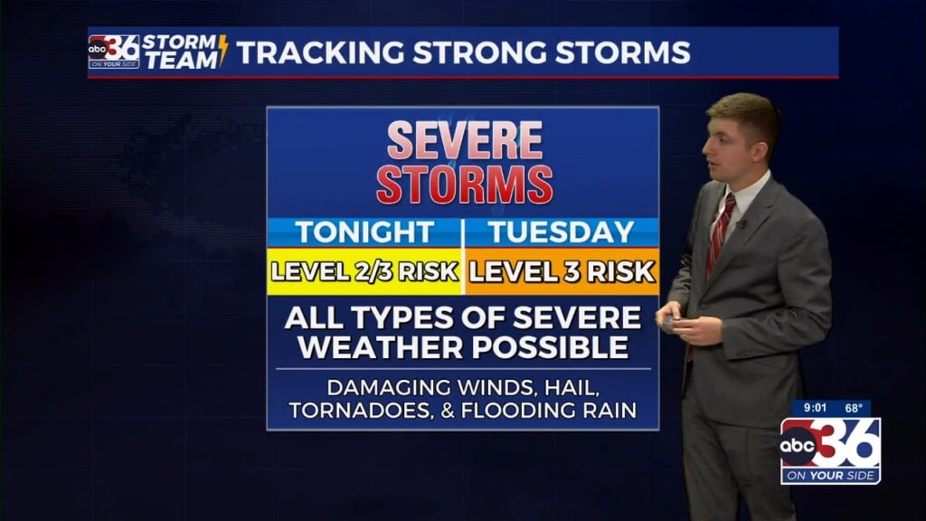
As a strong low pressure system lifts north into Canada, a cold front will make gradual progress to the east eventually bringing a good bet for some rain Monday afternoon/evening.
This round of scattered showers and storms won’t stick around long though with the front clearing our area by early Tuesday with a much cooler conditions expected for the middle of the week as highs struggle to escape the 50’s Tuesday and Wednesday. A gradual warm up is expected for the second half of next week with the chance for storms returning by next weekend.
-Meteorologist Jeremy Kappell


