Summer-like warmth continues here in late May
Afternoon highs should stay a good 10 degrees above average into Tuesday with more sunshine expected
It was a fantastic finish to the weekend weather-wise across Central and Eastern Kentucky with plenty of sunshine and unseasonably warm temperatures, even for the second half of May. The good news is that the early preview of the summer season stuck around to kick off the week and should hang in for another day or so before we see some changes back into a more active weather pattern. With lots of sun and a few scattered clouds, most spots on Monday managed the mid to upper 80s for afternoon highs but fortunately humidity levels stayed low so it wasn’t overly muggy to be out and about.

With high pressure in control over the southeastern United States, we’ll see yet another warm day Tuesday and with a general flow out of the southwest, it would be much of a surprise for most locations to make a run into the upper 80s thanks to all the sunshine and the breeze pushing even warmer air into the region. Tuesday will be a day to enjoy being outdoors as much as possible as we begin to shift things a bit heading into the mid and late week.

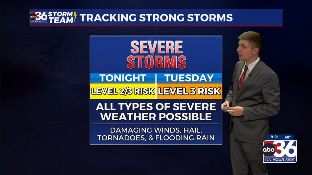
Our next storm system will slowly works its way into the Ohio Valley through the day on Wednesday. Right now it appears the majority of the day will be dry with our rain and storm chances ramping up late day and into the evening hours. The Storm Prediction Center has parts of our viewing area in the Level 1 and 2 risk (out of 5) with the greater threat for strong to severe storms being off to our west and northwest along the Ohio River. If anything does reach Central and Eastern Kentucky and reaches strong to severe limits, damaging winds and some hail appear to be the primary threats.

The rain and storm chances will hang around into the late week as the frontal boundary moves into the Ohio Valley and stalls out. With the front running parallel to the upper level flow, there will be nothing to drive the boundary out of the region for a few days. Add in several waves of energy riding along the front and you’ll need to keep the rain gear handy both Thursday and closing out the week Friday. With the clouds and rain around, afternoon highs will be held in check into the upper 70s.


This “unsettled” weather pattern will kick back in just in time for the Memorial Day weekend but this shouldn’t come as any surprise given how we’ve seen plenty of that type of weather during much of the month of May. It shouldn’t be a complete wash-out during the holiday weekend with Saturday giving us our best chance at a mainly dry day. The data is showing there could be a slightly better chance that wider storm coverage could be on the table for Sunday and Memorial Day so that’s something we’ll keep an eye on. If we do see multiple rounds of rain over the next week, this could create some flooding concerns so we’ll be watching that closely as well.

ABC 36 HOUR FORECAST
MONDAY NIGHT: Mostly clear and quiet. Lows in the low-60s.
TUESDAY: Mostly sunny and very warm. Highs in the mid to upper-80s.
TUESDAY NIGHT: Fair skies and mild. Lows in the mid to upper-60s.


