Strong to severe storms possible for parts of the area on Election Day
As a wave of low pressure moves through the area, Southern and Southeast Kentucky may see a few strong to severe storms late Tuesday
It was all about location to kick off the week across Central and Eastern Kentucky with quite a difference in temperatures and conditions from northeast to southwest on Monday. With more clouds and a few passing showers along and north of I-64, temperatures struggled into the low to mid-70s while areas farther south had more sunshine and afternoon highs right around 80 degrees. Overall it wasn’t bad start to the week given more active weather expected into Election Day.

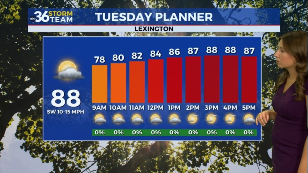
It appears location will be key on Election Day relative to storms and especially the severe weather threat. As a wave of low pressure tracks downs the I-64 corridor and a warm front arcs northward, we should see a couple of rounds of showers and storms, one in the morning and the other later in the afternoon. It’s the second wave that could cause some issues with strong to severe storms in Southern and Southeastern Kentucky. As far as getting out to vote, doing it early may be the best bet as our weather will be more unsettled and stormy as the day progresses. While it won’t storm the entire day some areas will be impacted less than others, the hour by hour Election Day takes into account the overall possibility of storms at those given times.


The Storm Prediction Center has much of Southern and Southeastern Kentucky in Level 2 risk (out of 5) for severe storms late Tuesday. All modes of severe weather are on the table, including a few isolated tornadoes so as always have your safety plan in place. You’ll notice a very sharp drop off to the north in the risk area with a small sliver of the Lexington area in the Level 1 risk and area north of the Bluegrass with little to no risk. This is why the exact track of the low is critical. If it moves farther south, that pushes the main threat down toward the Kentucky/Tennessee border, while a more northerly track, say north of I-64 would put more strong storms in play in the Bluegrass Region. The bottom line is there is still a little margin of error so check for the latest updates heading into Election Day!


Things will quiet down for a few days into the mid and late week as high pressure builds into the Ohio Valley and Mid-Atlantic. Expect some sunshine into Wednesday and Thursday with afternoon highs very pleasant into the low and mid-70s with lower humidity levels. Another storm system should bring more rain and storms to the area by the weekend but the timing there is still in question.


ABC 36 HOUR FORECAST
MONDAY NIGHT: Mostly cloudy and mainly dry. Lows in the upper-50s and low-60s.
TUESDAY: Occasional storms, some strong in the south and east late. Highs ranging from the low-70s central and north to the low-80s south.
TUESDAY NIGHT: Storms ending, then partly cloudy. Lows in the low-50s.