Spring-like air hangs tough into the mid-week
A few strong storms are still possible on Thursday
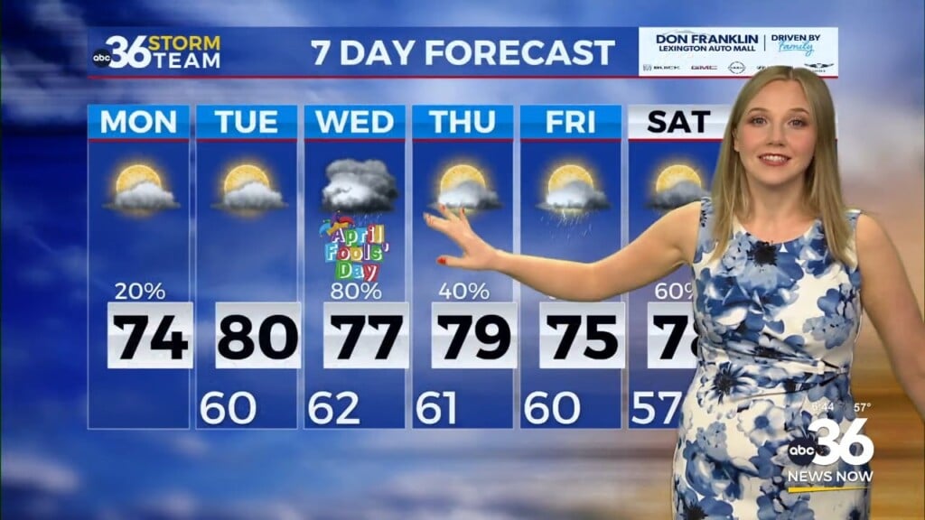
Our pleasant stretch of weather here in mid February continued on Tuesday across Central and Eastern Kentucky, even with a bit of scattered cloud cover to contend with. We did manage to see a few peeks of sunshine from time to time as a steady south wind helped push afternoon highs into the low 60s in most locations. The good news is that the early tease of spring-like weather will continue the next few days but things also should be a bit more active and unsettled as our scattered rain and storm chances pick up.
A weak boundary is set to slide through the region on Wednesday so a few spotty showers can’t be ruled out across the region especially during the morning hours. The main story will be more unseasonably mild air driven into the area by a strong southwest wind. Look for a breezy day with gusts 25 to 30 miles per hour at times, which will help push afternoon highs into the mid to upper 60s across the board. Once again we’ll see a good bit of cloudiness around the area but the rain chances will be fairly isolated as we progress through the afternoon.
For the first time in a long time we are looking at a legitimate strong storm threat heading into Thursday as a wave of low pressure and a cold front move in from the northwest. While the data supports the potential for some severe weather, it looks to be conditional based on some elements not being in place. That being said, the Storm Prediction Center has much of North Central Kentucky and points westward along the Ohio River in a Level 2 severe risk (out of 5) with a Level 1 risk stretching through Southern and Eastern Kentucky. While all modes of severe weather are possible, right now the most favorable area for supercell storms that could spin-up isolated tornadoes is more likely out to our west and the overall risk area has been shifted that way a bit. It may end up being a case of where we see clusters of storms with a damaging wind threat this far east and obviously it’s something to monitor closely the next few days. Beyond the storm threat, Thursday looks very mild with afternoon highs surging into the upper 60s even with some clouds and storms around, thanks to a breezy southwest wind.
Other than a few leftover showers we should see a mainly dry finish to the week on Friday as temperatures remain fairly pleasant for February even though they will back down a few degrees. Afternoon highs should reach the upper 50s with breezy conditions persisting. Much of the data (but not all of it) is still showing a decent wave of low pressure sliding through the commonwealth late Saturday and into Sunday so you may need the rain gear over the weekend. This system will usher in some colder air so it’s possible that the rain showers will end as a few snow showers into Sunday morning as the cold air catches the back edge of the moisture. We shouldn’t see any big issues given the recent warmth and it’s just a reminder that winter isn’t over yet. Things look dry and chilly early next week with some sunshine returning on Monday and Tuesday, but afternoon highs should remain in the 30s in most spots. Luckily this shot of cold air won’t last long as we moderate things a bit later next week.
ABC 36 Storm Team 3 Day Forecast
Tuesday night: Mostly cloudy, a mild night. Lows in the low to mid-50s. Wind: S 10-15 mph.
Wednesday: Breezy and mild, a few showers. Highs in the mid to upper-60s. Wind: S 10-20 mph.
Wednesday night: Mild with more clouds and showers. Lows in the low-50s. Wind: S 5-10 mph.


