Some sunshine briefly returns into the mid-week
The stubborn clouds will finally break apart allowing for some better weather, at least for one day
It was another cloudy and dreary Tuesday across Central and Eastern Kentucky thanks to the low clouds and moisture trapped just above the surface which kept the sunshine away. As I mentioned yesterday, this wasn’t unexpected given how tough it can be to scour out these clouds in this type of weather pattern and sure enough that was the case. Despite the low overcast, afternoon highs did recover a few degrees into the mid to upper 50s, but it was still well below average for this time in October. The fall colors continue to blossom nicely and should get even better over the next week or two.
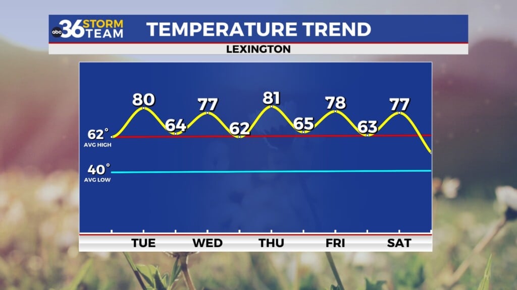
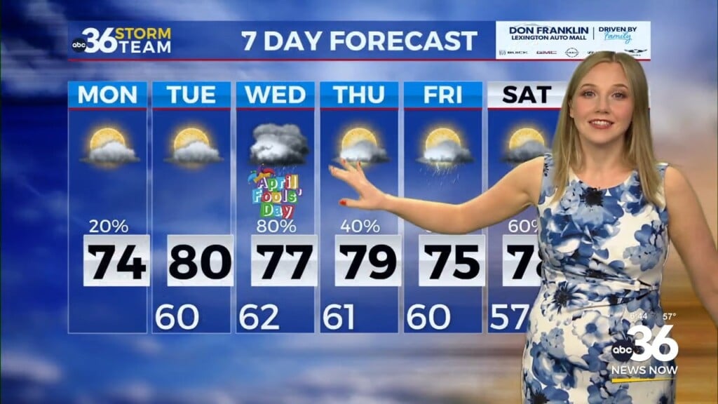
We’ll finally be back into some sunshine on Wednesday, albeit a brief stretch of it but we’ll take what we can get. High pressure will build east of the area allowing a south wind to pick up especially late in the day. The combination of the sun and some milder air streaming in from the south should open the door for afternoon highs to run back into the upper 60s to around 70 degrees so it should feel much better into the mid-week.
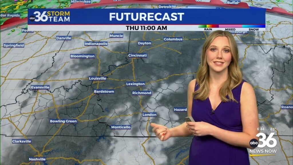
Our weather should turn unsettled rather quickly as a wave of low pressure and a trailing cold front slide through the Ohio Valley Thursday and into Friday. You’ll definitely want to keep the rain gear handy to close out the week with legitimate shower chances both days, even behind the front on Friday with some energy lingering behind the main front. Highs should still reach the upper 60s on Thursday before backing off into the low 60s for Friday.
Of course we could use the rain given the drought conditions that we are experiencing, especially here in the Bluegrass. While rainfall totals won’t be a drought buster we do have the potential of getting some additional water in the ground to the tune of a half inch or more, especially areas in the south and east per the latest data.
This weekend a secondary wave will slide into the Ohio Valley but it should be far enough to the north to keep our shower chances on the low end Saturday. It appears the best chances for showers will be across Northern and Northeast Kentucky, closer to the wave of low pressure. Highs should be in the low 60s Saturday then slightly cooler on Sunday in the wake of the departing wave with readings mainly in the upper 50s. Right now another extended dry stretch may be on the way into next week.
ABC 36 HOUR FORECAST
TUESDAY NIGHT: Clearing skies and chilly. Lows in the low-40s.
WEDNESDAY: Mostly sunny and milder. Highs in the upper 60s to around 70 degrees.
WEDNESDAY NIGHT: Scattered clouds and breezy. Lows in the low-50s.


