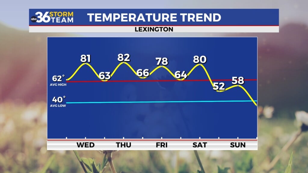
Showers and storms return for Thursday
It shouldn't be a washout day but take the rain gear along
Wednesday brought a pleasant blend of clouds and some filtered sunshine across Central and Eastern Kentucky. A low-pressure system spinning to our southwest and a weak cold front to the north worked together to stir up some mid to high level cloud cover, but it stayed mostly dry for the majority of the region. Temperatures responded nicely topping out in the low 70s—right on par for early May. It was a solid spring day overall and hopefully you got a chance to enjoy it because some changes are on the way.
Rain Chances Return Thursday
You’ll want to keep the rain gear handy Thursday as shower and storm chances return to the Bluegrass. That same low pressure to our southwest will link up with the incoming cold front, pulling in more moisture and sparking scattered showers and a few thunderstorms. Southern Kentucky is in a more favorable area to see a few strong storms during the late afternoon hours so there is a Level 2 severe risk (out of 5) for that part of the commonwealth with a Level 1 risk farther north. Damaging winds and some larger hail look possible with any of these storms that develop so keep that in mind. This won’t be an all-day rain event or a complete washout but expect to dodge some showers at times especially during the afternoon. Despite the clouds and rainfall potential, temperatures should still manage the low 70s.
Drying Out to Close the Week
High pressure will begin building in from the northwest Friday helping to sweep out the clouds and usher in some drier air. That sets us up for a sunnier, quieter end to the workweek. A light northeast breeze behind the departing front will keep things a bit cooler, with highs settling in the upper 60s. All in all it looks like a solid spring day, perfect for wrapping up the week or heading out to early Mother’s Day events.
Uncertain but Hopeful for Mother’s Day Weekend
As we head into the weekend, the weather pattern grows a bit more complicated. A “blocking” setup is likely to take shape, with high pressure to our north and another cut-off low to the south. These systems may be locked in place for a couple of days, leading to some uncertainty in how things unfold. The current trend leans toward a mainly dry Saturday, with just a slight uptick in shower chances creeping in from the south late Sunday—Mother’s Day. We’ll be watching it closely, but for now plan on dry and seasonable conditions with highs in the low to mid-70s.
Upper Low Returns Early Next Week
Looking ahead to early next week, that same upper-level low could eventually win out and drift northward into the Ohio Valley. If that happens, we’ll be back in line for scattered showers and thunderstorms Monday into Tuesday. It may take a few days for the system to fully exit, which could keep those daily rain chances around through midweek. The silver lining? Temperatures look mild, with highs reaching well into the 70s—possibly near 80.
Wednesday Night: A few clouds, stray showers south. Lows in the mid-50s. Wind: SE 5 mph.
Thursday: Partly sunny, a few scattered showers and storms. Highs in the low-70s. Wind: NE 5 mph.
Thursday Night: Evening storms, then drying and cooler. Lows in the upper-40s. Wind: NE 5-10 mph.


