Record warmth to begin March as our active weather pattern kicks back in
Afternoon highs could surge into the mid-70s Wednesday before our rain and storm chances pick up late week
It was a dandy finish to February across Central and Eastern Kentucky on Tuesday as we wrapped up the month and meteorological winter (December, January, and February) and of course it has been anything but winter-like lately across the area. With plenty of sunshine and highs into the 60s, it was simply beautiful. In fact some plants are in bloom and the bees are buzzing already thanks to all the mild air around.

It appears that February will go down as the 2nd warmest February on record in Lexington with an average temperature of 46.6 degrees, which a few tenths shy of the record of 436.8 degrees set back in February 2017. This marks the second month in a row of record monthly warmth as January was the 2nd warmest January on record…and remember they’ve been keep records here in Lexington since the late 1800s. Check out the graphic below, which shows how many days in both January and February that were at or above 50 degrees and 60 degrees for afternoon highs. It’s pretty remarkable…and remember there are 31 days in January and 28 in February.

Speaking in unseasonably warm weather and record highs, it appears we are set-up for that as we kick off March on Wednesday. With a warm front sliding through early Wednesday, a strong southwest flow along with some sunshine will push highs into the mid to upper 70s, so what a start is in store to begin the new month!

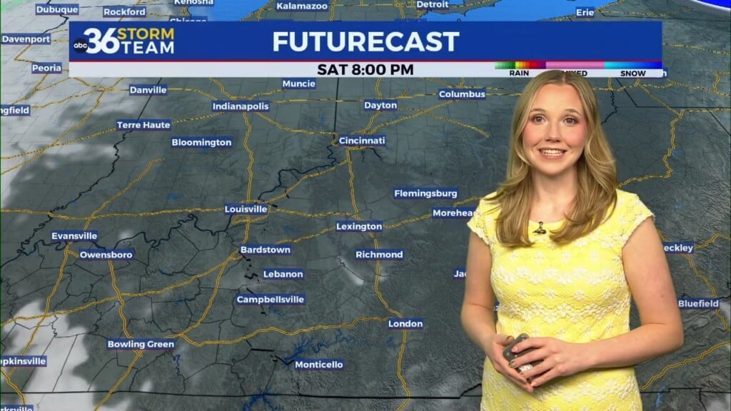
Our active weather pattern kicks back in quickly with a round of showers late Wednesday night and into Thursday before yet another strong storm system brings the potential for heavy rain, storms, and another high wind event! The track of the area of low pressure through the Ohio Valley on Friday will be very similar to many of the storm system this winter so we’ll be in the prime spot for some disruptive weather. Some pockets of heavier rain will be possible so the flooding potential could ramp up quickly if the rain lingers long enough. Winds will be very strong with gusts 45 to 55 miles per hour on Friday away from any thunderstorms so keep that in mind.

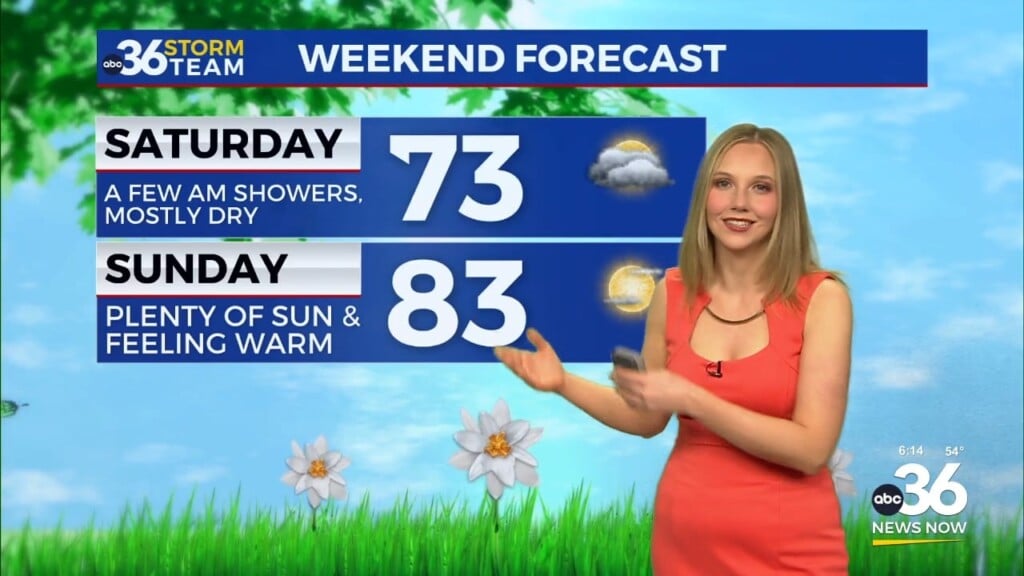
Speaking of thunderstorms, it appears the biggest threat for organized severe weather looks to be across the southeast across Georgia and the Carolinas but part of Southern Kentucky is in extended outlook risk area and that could easily be extended farther north in the coming days. We are set to a dry weekend with fairly moderate temperatures for early March.

Don’t forget the statewide tornado drill is Wednesday morning at 10:07 AM Eastern time, as we kick off Severe Weather Preparedness Week across the commonwealth. Now is the time to get a plan in place as we head into our traditional severe weather season over the next few months.

ABC 36 HOUR FORECAST
TUESDAY NIGHT: Mostly clear and pleasant. Lows in the upper-40s.
WEDNESDAY: Mostly sunny and breezy, record warmth. Highs in the mid-70s.
WEDNESDAY NIGHT: Breezy with scattered rain and storms. Lows in the low-50s.