Record warmth on the table through the mid-week
With afternoon highs surging into the mid to upper 70s, we could break a few records as it will feel more like mid to late May through Thursday
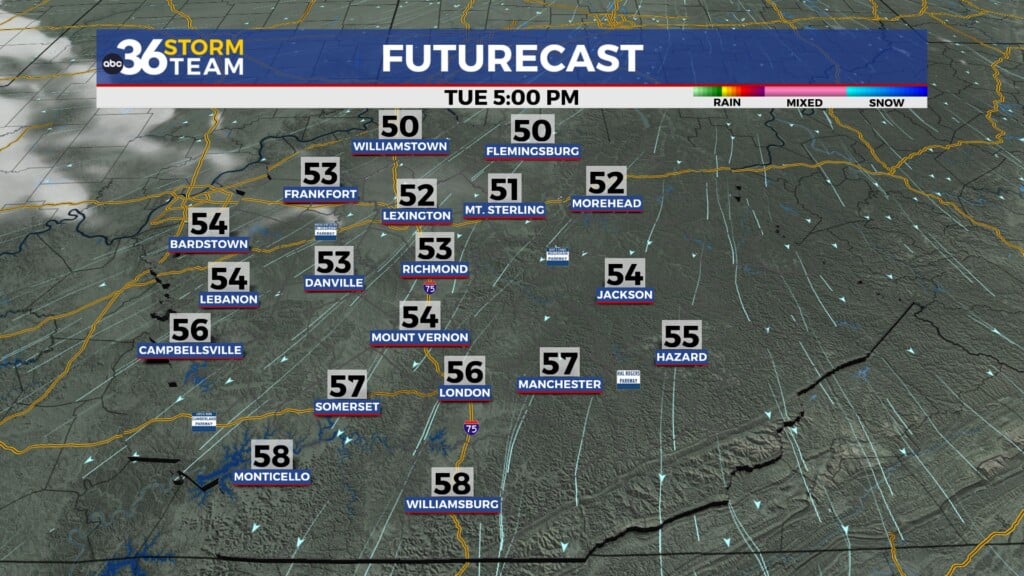
It turned out to be a delightful “Fat Tuesday” across Central and Eastern Kentucky with sunshine, a nice westerly breeze and afternoon highs overachieving a bit into the upper 50s and low 60s. With a stalled out frontal boundary just to our south set to work back to the north as a warm front into Wednesday, our rain and storm chances will return but so will the very unseasonably warm weather. It sure was nice to see the sunshine Tuesday, especially at daybreak after the cloudy start to the week.
Expect a few showers and rumbles of thunder into the early hours of Wednesday with the warm front arcing to the north of the commonwealth. This will open the door for a strong southwest wind to kick in, pushing unseasonably warm air back into the area. You know the drill this time of the year…any time we see highs into the 70s, we’ll typically have a good bit of wind around as well. Wind gusts could be 40 to 45 miles per hour through Wednesday especially into the evening as another wave of showers and storms approaches from the west. A Wind Advisory is out for Central Kentucky from 11am Wednesday until 1 am Thursday morning.
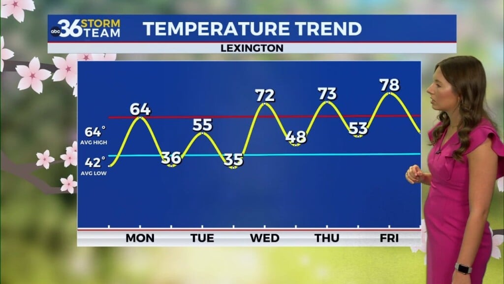
Keep in mind that there should be plenty of dry times the next few days and we could make a run at record high temperatures with readings into the mid to upper 70s. Lexington’s record high Wednesday is 70 degrees set back in 1922 and we should easily best that. Keep in mind that the main surface cold front shouldn’t pass through until Thursday afternoon and it looks like it may be dry as it moves through. This will push high temperatures back into the upper 70s on Thursday so it will feel more like mid to late May. Of course temperatures will crash behind the front with highs dropping into the mid-40s to end the week.
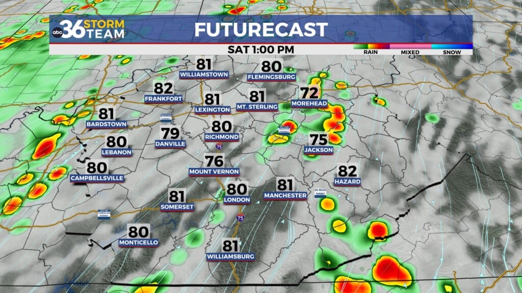
The active and unsettled weather pattern will be sticking around this weekend and into the final days of February early next week. Expect a few waves of ebnergy to keep a few showers around Saturday and Sunday with a more significant front arriving Monday as temperatures recover into the upper 60s so a few thunderstorms should be possible by then. Enjoy the warm air while it lasts but watch out for the strong winds.
ABC 36 HOUR FORECAST
TUESDAY NIGHT: Showers and storms with rising temps. Lows in the upper 40s early climbing into the low 60s by daybreak.
WEDNESDAY: A.M. showers, windy and warm, record high temperatures possible. Highs in the mid to upper 70s.
WEDNESDAY NIGHT: Windy with rain and thunder. Lows in the low 60s.


