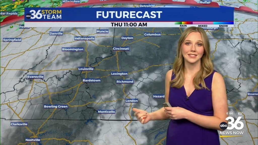
Record lows in jeopardy Wednesday as the fall-like air settles in
Temperatures could potentially drop into the upper 40s in the morning, which is a rarity in late August
It was a postcard type day on Tuesday across Central and Eastern Kentucky with yet another sneak peek of the fall season here in late August. Despite what the calendar says, it felt more like late September or early October thanks to a mix of clouds and sunshine, a breezy northeast wind and much drier air working in. Afternoon highs struggled to sneak into the low 70s in a number of locations but it was a fantastic break from all the heat and humidity we typically see this time of the year and will see again soon enough. With skies clearing early Tuesday it made for good viewing for the Super Sturgeon Moon across the commonwealth.
The big story heading into Wednesday will be the unseasonably cool/chilly readings that folks should wake up to. With lighter winds, clear skies and some decent radiational cooling temperatures are expected to drop into the upper 40s and low 50s to begin the day. Our expected low here in Lexington Wednesday morning is 51 degrees with the record low at 49 degrees set back in 1950. I’m confident the outlying areas will sneak into the 40s so the light jacket will come in handy for the early birds on Wednesday. If we manage to drop into the 40s here in Lexington, it will be the first time that’s happened in August since 2004 and before that you have to go all the way back to 1989 so it’s very unusual!
The rest of Wednesday should be another beautiful day as high pressure continues to dominate the region. With abundant sunshine, low humidity levels and probably a bit less of the scattered cloud cover, afternoon highs should run into the mid and upper 70s with the nice northeast breeze making it feel almost ideal for this late in August so you’ll definitely want to spend some time outdoors if possible.
Heading into the late week the dominate area of high pressure will begin to drift to the east slowly, allowing for some warmer air in the Central Plains to drift our way and we’ll see a slight uptick in the humidity levels as we see a return flow from the south. The good news is that it won’t be a drastic or significant rise in humidity so it should hopefully be barely noticeable as we see temperatures climb back into the mid-80s on Thursday with the upper 80s expected on Friday. The good news is that it should be a nice evening for the kickoff of the 2024 Kentucky high school football season. Sure it will be warm for the early evening games but it doesn’t look to be overly muggy so all things considered it should be a great start to the season without the threat of any rain or storms.
Mother Nature will flip the script pretty quickly this weekend as the heat builds back in on Saturday and Sunday. Expect highs into the low to mid-90s and again the air-mass should be relatively dry so it won’t be oppressive as far as the humidity is concerned. Nevertheless it is a late summer weekend with plenty of outdoor activities going on so make sure to plan accordingly and hydrate properly if you’ll be out in the sunshine for any length of time. Expect more heat with highs in the mid-90s to begin next week before a few isolated storms finally work back in the mix about a week from now.
ABC 36 HOUR FORECAST
TUESDAY NIGHT: Clear and quiet, near record lows. Lows in the upper-40s and low-50s.
WEDNESDAY: More sunshine, another beauty! Highs in the mid to upper-70s.
WEDNESDAY NIGHT: Fair skies, another quiet nights. Lows in the mid-50s.


